Cruz de los Caminos, Tacuarembó
Cruz de los Caminos, formerly named Cuchilla de Caraguatá or Caraguatá is a village in the Tacuarembó Department of Uruguay. It took its original name from a nearby range of hills, known as the Cuchilla de Caraguatá. The word 'Caraguatá' refers to a local plant and is also the name of a nearby stream.
Cruz de los Caminos (Cuchilla de) Caraguatá | |
|---|---|
Village | |
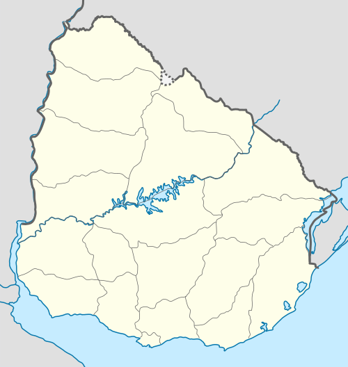 Cruz de los Caminos Location in Uruguay | |
| Coordinates: 32°13′57″S 54°58′16″W | |
| Country | |
| Department | Tacuarembó Department |
| Population (2011) | |
| • Total | 463 |
| Time zone | UTC -3 |
| Postal code | 45019 |
| Dial plan | +598 463 (+5 digits) |
Location
The village is situated in the east of the department, 6.5 kilometres (4.0 mi) southeast of Las Toscas, on km. 360 of Route 6 and on its intersection with Route 26.
Population
In 2011 Cruz de los Caminos had a population of 463.[1] No former census had given results for this location.
| Year | Population |
|---|---|
| 2011 | 463 |
Public schools
In Cruz de los Caminos is Public School 61, while 2.7 kilometres (1.7 mi) to its west, on Route 6 is Public School 26, next to the police station. About 4.6 kilometres (2.9 mi) west-southwest of Las Toscas is the rural area Public School 28, named Costas de Caraguatá.