Crown of Scotland (hill)
The Crown of Scotland is a hill in Dumfries and Galloway, Scotland.
| Crown of Scotland | |
|---|---|
 Crown of Scotland[1] | |
| Highest point | |
| Elevation | 538 m (1,765 ft) |
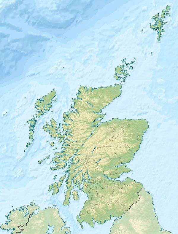
| Coordinates | 55.38145°N 3.46492°W |
| Geography | |
 Crown of Scotland | |
| OS grid | NT081150 |
| Geology | |
| Mountain type | sub Donald Dewey |
At a relatively small elevation from the surrounding peaks, it is situated to the north of the Devil's Beef Tub and the town of Moffat.
The hill's unusual name derives from the alliance made between Robert the Bruce and James Douglas, Lord of Douglas upon its summit in 1306, following the former's murder of the Red Comyn at Greyfriars kirk in Dumfries, and when Bruce was on his way to Scone to be crowned by Bishop William de Lamberton.[2]
Development
In 2008 a planning application was made to erect 36 wind turbines concentrated on the summit and its surrounding peaks. This application was rejected following much local objection. Currently (December 2011) a revised plan for 24 turbines is in process.[3]
References
- "Interactive map of proposed development at Earlshaugh, 1b being the potential view pictured, with The Crown of Scotland at its centre". Archived from the original on 26 April 2012. Retrieved 22 December 2011.
- Ross, David R. (2008). The Black Douglas. Glasgow: Bell and Bain Ltd. p. 12.
- Keddie, Andrew (24 September 2011). "Wind farm firm back with scaled down Devil's Beef Tub project". Southern Reporter. Retrieved 28 January 2017.