Crosby-on-Eden
Crosby-on-Eden is the combined name for two small villages, High Crosby and Low Crosby, within the civil parish of Stanwix Rural near Carlisle, Cumbria, England.
| Crosby-on-Eden | |
|---|---|
 The Isle of Man visible from Crosby on the A596 | |
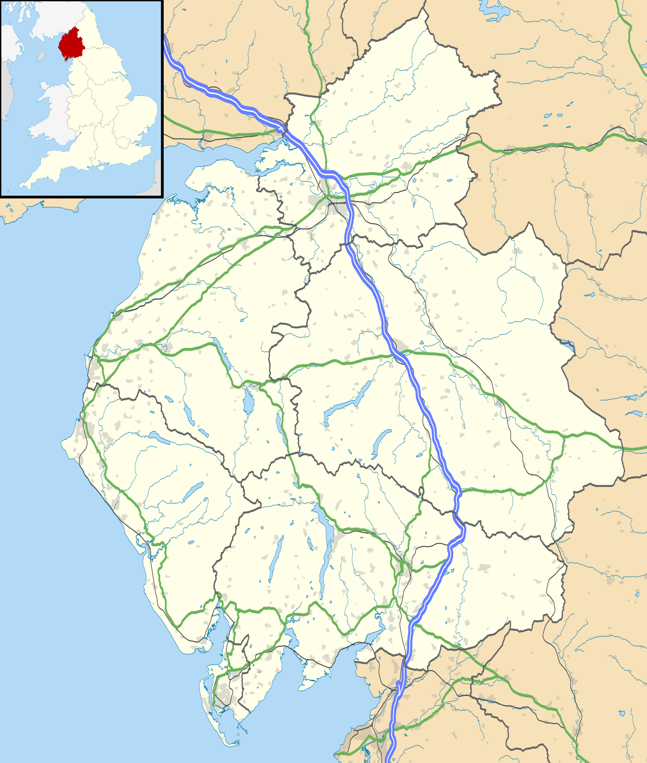 Crosby-on-Eden Location within Cumbria | |
| OS grid reference | NY459600 |
| Civil parish | |
| District | |
| Shire county | |
| Region | |
| Country | England |
| Sovereign state | United Kingdom |
| Post town | CARLISLE |
| Postcode district | CA6 |
| Dialling code | 01228 |
| Police | Cumbria |
| Fire | Cumbria |
| Ambulance | North West |
| UK Parliament | |
The villages are by the River Eden north-east of Carlisle, joined by a road that used to be the line of the Stanegate Roman road.[1] It has been thought on spacing grounds that there might have been a small Roman fort in Crosby-on-Eden, as part of the so-called Stanegate frontier which preceded Hadrian's Wall, but if such a fort exists it has not yet been found. The Stanegate ran in a deep cutting still visible next to the road running west from High Crosby, and it has been suggested that part of the reason for the cutting was to produce stone for building work.[2]
The line of Hadrian's Wall passes a mile or so to the north, and the Hadrian's Wall Path follows the Stanegate through the villages.
In Low Crosby is the Church of St John the Evangelist, a rebuilt church by R.H. Billings in the Gothic style. A grange was built here and named Crosby. High Crosby is a half mile east of Low Crosby, and located in the village is Crosby House, a former mansion that is now a hotel.
The villages are bypassed by the A689 road which used to be numbered as part of the B6264 and follows the route of General Wade's Military Road.
Crosby-on-Eden has a primary school, Crosby-on-Eden C. of E. School, built in 1844.
RAF Crosby-on-Eden
RAF Crosby-on-Eden was a Second World War airfield which was home to No.59 Operational Training Unit providing day training for Hawker Hurricane pilots.[3] It was replaced by No. 9 Operational Training Unit, 17 Group Coastal Command, in August 1942 for training long-range fighter crews on Bristol Beaufort and Bristol Beaufighter conversion squadrons, as well as air firing and night flying.[4] In August 1944, the station came under the command of No. 109 Operational Training Unit, a transport command of Douglas Dakotas.[5] The station was renamed 1383 TCU on 1 August 1945.
After the Second World War, British European Airways commenced flights to Ronaldsway and Belfast. However, the RAF station had no post-war use or need and was closed in 1947. It was reopened in 1960 as Carlisle Airport. Since 2006 the airport has been known as Carlisle Lake District Airport, and since 30 May 2009 the airport lease has been owned by the Stobart Group.
See also
References
- "Roman Heritage Way - Carlisle to Walton / Banks". Romanheritageway.fsnet.co.uk. Retrieved 21 June 2014.
- Roman roads in Cumbria, www.romanroads.org
- "Royal Air Force Milfield". Milfield.org.uk. Retrieved 21 June 2014.
- "RAF Carlisle airfield". Controltowers.co.uk. Retrieved 21 June 2014.
- History of Dakota KG651 Archived 28 September 2007 at the Wayback Machine
External links
| Wikimedia Commons has media related to Crosby-on-Eden. |
- Entry at "The Cumbria Directory"
- A walk along the Roman Heritage Way
- Eden Golf course and range
- Church of St John the Evangelist
| Authority control |
|
|---|