Craigowl Hill
Craigowl Hill is a summit towards the eastern end of the Sidlaw Hills in Angus, Scotland. Northeast of Kirkton of Auchterhouse and approximately eight kilometres north of Dundee, Craigowl Hill represents the highest point in the range. It also known for being one of the hardest cycling climbs in Scotland, as a 3.36 km (2 mile) climb at 9.4%.
| Craigowl Hill | |
|---|---|
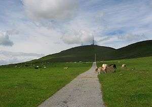 Road leading to masts on Craigowl Hill | |
| Highest point | |
| Elevation | 455 m (1,493 ft) |
| Prominence | 393 m (1,289 ft) |
| Parent peak | Lochnagar |
| Listing | Marilyn, Hardy |
| Geography | |
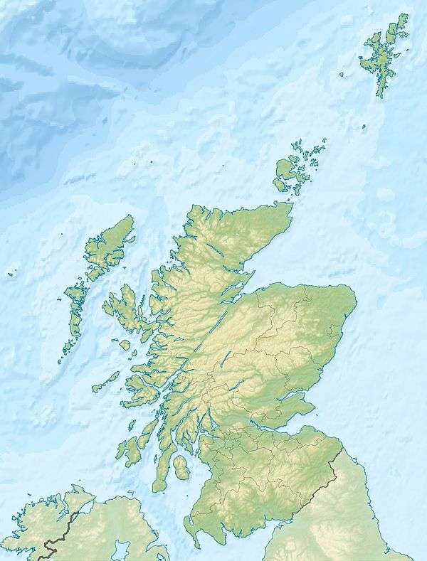 Craigowl Hill Sidlaw Hills, Scotland | |
| OS grid | NO376400 |
| Topo map | OS Landranger 53 |
Geodesy
Craigowl Hill was the origin (meridian) of the 6 inch and 1:2500 Ordnance Survey maps of Angus (Forfarshire).[1]
See also
References
- "198 years and 153 meridians, 152 defunct" (PDF). Charlesclosesociety.org. Retrieved 10 September 2016.
External links
| Wikimedia Commons has media related to Craigowl Hill. |
- Computer-generated virtual panoramas Craigowl Hill Index
- Strava segment
This article is issued from Wikipedia. The text is licensed under Creative Commons - Attribution - Sharealike. Additional terms may apply for the media files.