Cosna River (Alaska)
The Cosna River is a 44-mile (71 km) tributary of the Tanana River in the central part of the U.S. state of Alaska.[3] It flows northward from the Bitzshtini Mountains into the Tanana west (downstream) of Manley Hot Springs.[4]
| Cosna River | |
|---|---|
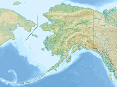 Location of the mouth of the Cosna River in Alaska | |
| Location | |
| Country | United States |
| State | Alaska |
| District | Yukon–Koyukuk Census Area |
| Physical characteristics | |
| Source | Bitzshtini Mountains |
| ⁃ coordinates | 64°24′34″N 152°00′31″W[1] |
| ⁃ elevation | 1,985 ft (605 m)[2] |
| Mouth | Tanana River |
⁃ location | 32 miles (51 km) northeast of Bitzshtini Mountains |
⁃ coordinates | 64°51′16″N 151°21′55″W[1] |
⁃ elevation | 249 ft (76 m)[1] |
| Length | 44 mi (71 km)[3] |
In 1899, Lieutenant J. S. Herron attributed the name to the Tanana peoples living in the area.[1] However, a century later linguist William Bright, citing the Koyukon Athabascan Dictionary, attributed the name to the Koyukon words kk' os, schist rock, combined with no', river.[5]
See also
References
- "Cosna River". Geographic Names Information System. United States Geological Survey. March 31, 1981. Retrieved October 20, 2013.
- Derived by entering source coordinates in Google Earth.
- Orth, Donald J.; United States Geological Survey (1971) [1967]. Dictionary of Alaska Place Names: Geological Survey Professional Paper 567 (PDF). University of Alaska Fairbanks. United States Government Printing Office. p. 240. Archived from the original (PDF) on October 17, 2013. Retrieved October 13, 2013.
- Alaska Atlas & Gazetteer (7th ed.). Yarmouth, Maine: DeLorme. 2010. pp. 112–13. ISBN 978-0-89933-289-5.
- Bright, William (2004). Native American Place Names of the United States. Norman: University of Oklahoma Press. p. 123. ISBN 0-8061-3576-X.
This article is issued from Wikipedia. The text is licensed under Creative Commons - Attribution - Sharealike. Additional terms may apply for the media files.