Coldwater River (Algoma District)
The Coldwater River is a river in the Unorganized North Part of Algoma District in Northeastern Ontario, Canada.[1] It is in the Great Lakes Basin, is a tributary of Lake Superior, and its entire course lies within Lake Superior Provincial Park.[2]
| Coldwater River | |
|---|---|
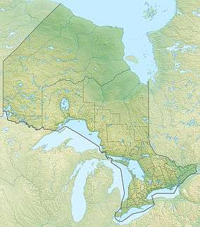 Location of the mouth of the Coldwater River in Ontario. | |
| Location | |
| Country | Canada |
| Province | Ontario |
| Region | Northeastern Ontario |
| District | Algoma |
| Part | Algoma, Unorganized, North |
| Physical characteristics | |
| Source | Black Lake |
| ⁃ location | Barager Township |
| ⁃ coordinates | 47°35′59″N 84°42′20″W |
| ⁃ elevation | 370 m (1,210 ft) |
| Mouth | Lake Superior |
⁃ location | Giles Township |
⁃ coordinates | 47°28′05″N 84°47′17″W |
⁃ elevation | 180 m (590 ft) |
| Basin features | |
| River system | Great Lakes Basin |
| Tributaries | |
| ⁃ right | June Creek |
Course
The Coldwater River begins at Black Lake, in geographic Barager Township,[3] and travels south through geographic Broome Township,[4] and the southeast corner of geographic Brimbacombe Township[5] before flowing into geographic Giles Township,[6] where it takes in the right tributary June Creek, passes under Ontario Highway 17, and reaches its mouth at Lake Superior.
Tributaries
- June Creek
See also
References
- "Coldwater River". Geographical Names Data Base. Natural Resources Canada. Retrieved 2011-11-05.
- "Park area". Friends of Lake Superior Provincial Park. Archived from the original on 2014-03-30. Retrieved 2014-06-26.
- "Barager" (PDF). Geology Ontario - Historic Claim Maps. Ontario Ministry of Northern Development, Mines and Forestry. Archived from the original (PDF) on 2012-04-26. Retrieved 2011-11-05.
- "Broome" (PDF). Geology Ontario - Historic Claim Maps. Ontario Ministry of Northern Development, Mines and Forestry. Archived from the original (PDF) on 2012-04-26. Retrieved 2011-11-05.
- "Brimbacombe" (PDF). Geology Ontario - Historic Claim Maps. Ontario Ministry of Northern Development, Mines and Forestry. Archived from the original (PDF) on 2016-03-04. Retrieved 2011-11-05.
- "Giles" (PDF). Geology Ontario - Historic Claim Maps. Ontario Ministry of Northern Development, Mines and Forestry. Archived from the original (PDF) on 2012-04-26. Retrieved 2011-11-05.
This article is issued from Wikipedia. The text is licensed under Creative Commons - Attribution - Sharealike. Additional terms may apply for the media files.