Col du Perthus
The Col du Perthus (in Catalan: Coll de Pertús) is a mountain pass of the Pyrenees on the France–Spain border, between the Pyrénées-Orientales in Languedoc-Roussillon, Midi-Pyrénées and the Province of Girona in Catalonia.
| Col du Perthus | |
|---|---|
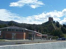 The French side of the pass, with the Pyramid of Perthus to the right | |
| Elevation | 290 m (951 ft) |
| Traversed by | D900, A9, N-II, AP-7 |
| Location | Le Perthus |
| Range | Pyrenees |
| Coordinates | 42°27′50″N 2°51′56″E |
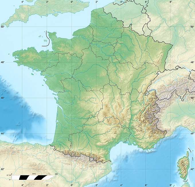 Col du Perthus Location of the Col du Perthus in France | |
Rising to an altitude of 290 metres (950 ft), it is one of the lowest border passes in the Pyrenees. It marks the western boundary of the Albera Massif. The village of Le Perthus was founded at the col in 1836.[1]
See also
This article is issued from Wikipedia. The text is licensed under Creative Commons - Attribution - Sharealike. Additional terms may apply for the media files.