Changa, Anand
The village of Changa is situated to the west of the tehsil headquarters Petlad at about 15 kilometres (9.3 mi) away. It is about 20 kilometres (12 mi) North-west from the district headquarters Anand. The village is situated on Nadiad-Khambhat road and is 4 kilometres (2.5 mi) interior from Valetva. The village is connected by road with main centers such as Anand, Petlad, Nadiad, Ahmedabad etc. The village has very good transportation system and public electrical infrastructure.
Changa Chandga | |
|---|---|
Village | |
 Changa  Changa | |
| Coordinates: 22.59°N 72.800°E | |
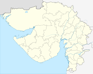
| Country | India |
| State | Gujarat |
| District | Anand |
| Government | |
| • Sarpanch | sanabhai solanki |
| Area | |
| • Total | 14.86 km2 (5.74 sq mi) |
| Elevation | 35 m (115 ft) |
| Population (2001) | |
| • Total | 6,828 |
| • Density | 460/km2 (1,200/sq mi) |
| Languages | |
| • Official | Gujarati, Hindi |
| Time zone | UTC+5:30 (IST) |
| PIN | 388421 |
| Telephone code | 02697 |
| Vehicle registration | GJ-23 |
This village has a beautiful pond besides a school, lush green bushes, Huge trees, Schools, Library, Post Office, Health Center, Panchayat Ghar, Dharmshala, Grassland and “Charotar University of Science & Technology”.
Agriculture
The village is known for its farming and milk production. Mainly wheat, non basmati peddy ,poha peddy , Bajra , green millent and Tobacco - kalkatti ,are sowed.
Transport
Dewa Railway Station, Dabhau Railway Station are the very nearby railway stations to Changa. Ahmedabad Jn Railway Station is major railway station 57 km near to Changa, Anand on Bombay Delhi line 22 km from Changa and Nadiad.