Chandesi
Chambeshi, also Chandeshi or Chambeshi, is a small town on the Kasama-Mpika Road (M1 Road) in the Northern Province of Zambia. It is named after the Chambeshi River whose source is in the Mbala area. [1]
Chambeshi | |
|---|---|
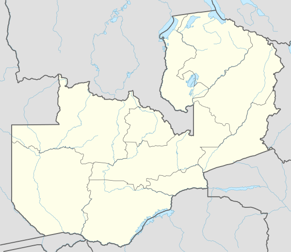 Chambeshi Location in Zambia | |
| Coordinates: 10°57′02″S 31°04′06″E | |
| Country | |
| Province | Northern Province |
| District | Kasama District |
| Elevation | 3,855 ft (1,175 m) |
| Time zone | UTC+2 (CAT) |
Location
Chandesi is located approximately 86 kilometres (53 mi), by road, south of the district headquarters at Kasama.[2] This is about 770 kilometres (478 mi), by road, north-east of Lusaka, the capital and largest city of Zambia, on the main Lusaka–Mpulungu Highway.[3]
The geographical coordinates of the town are:10°57'02.0"S, 31°04'06.0"E (Latitude:-10.950556; Longitude:31.068333).[4] The average elevation of Chandesi is about 1,175 metres (3,855 ft), above sea level.[1]
Overview
Chandesi lies on the main highway that connects Lusaka, the capital of Zambia, to Kapiri Mposhi, Isoka, Chilonga, Mpika and on to Kasama and Mpulungu, at the southern tip of Lake Tanganyika. The town is built along the shores of the Chambeshi River, as it flows from its source near Lake Tanganyika to the Bangweulu Swamps.[4]
See also
References
- Getamap.net (4 October 2018). "About Chambeshi, Zambia". Getamap.net. Retrieved 4 October 2018.
- Globefeed.com (4 October 2018). "Distance between Chandesi, Zambia and Kasama, Zambia". Globefeed.com. Retrieved 4 October 2018.
- Globefeed.com (4 October 2018). "Distance between Lusaka, Zambia and Chandesi, Zambia". Globefeed.com. Retrieved 4 October 2018.
- Google (4 October 2018). "Location of Chandesi, Zambia" (Map). Google Maps. Google. Retrieved 4 October 2018.