Cape Vik
Cape Vik (60°40′S 45°40′W) is a cape marking the west side of the entrance to Marshall Bay on the south coast of Coronation Island, in the South Orkney Islands. The cape appears to be first shown and named on a chart made by the Norwegian whaler Captain Petter Sorlle in 1912–13.
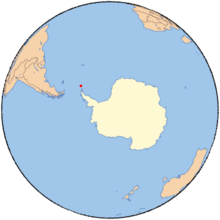
South Orkney Islands.
Maling Peak is just northwest of the cape.
![]()
![]()
This article is issued from Wikipedia. The text is licensed under Creative Commons - Attribution - Sharealike. Additional terms may apply for the media files.