Cape Sterneck
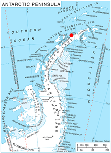
Cape Sterneck (64°4′S 61°2′W) is a bold, black cliff on a projecting point forming the west extremity of Chavdar Peninsula on the west coast of Graham Land, Antarctica. It is situated on the north side of the entrance to Hughes Bay and the west side of the entrance to Curtiss Bay, and separating Davis Coast to the northeast from Danco Coast to the southwest.
In 1898, the Belgian Antarctic Expedition under Lieutenant Adrien de Gerlache explored this area and named this cape for the Austrian geophysicist whose apparatus was used on the expedition. The British name for the feature is Cape Herschel.[1]
Maps
- British Antarctic Territory. Scale 1:200000 topographic map. DOS 610 Series, Sheet W 64 60. Directorate of Overseas Surveys, Tolworth, UK, 1978.
- Antarctic Digital Database (ADD). Scale 1:250000 topographic map of Antarctica. Scientific Committee on Antarctic Research (SCAR). Since 1993, regularly upgraded and updated.
Further reading
References
![]()
![]()