Cape Kater
Cape Kater (63°46′S 59°54′W) is a cape fringed by rocks, forming the northwestern extremity of Whittle Peninsula on the west coast of Graham Land. This coast was sketched by a British expedition 1828–31, under Henry Foster, who named a cape in this region after Captain Henry Kater, a member of the committee which planned the expedition. This region was more fully mapped by the Swedish Antarctic Expedition, 1901–04, under Otto Nordenskjold, who gave the name "Cape Gunnar" to this cape. The name Kater perpetuates the earlier naming.[1]
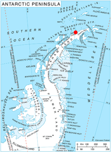
Location of Whittle Peninsula in Graham Land, Antarctic Peninsula.
References
- "Cape Kater". Geographic Names Information System. United States Geological Survey. Retrieved 2013-04-14.
![]()
This article is issued from Wikipedia. The text is licensed under Creative Commons - Attribution - Sharealike. Additional terms may apply for the media files.