Cabo Velas District
Cabo Velas is a district in the canton of Santa Cruz, Guanacaste Province in Costa Rica.[1]
Cabo Velas | |
|---|---|
District | |
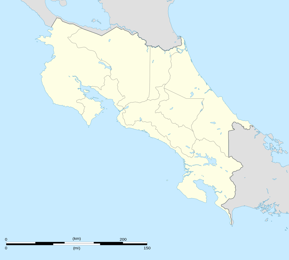 Cabo Velas Location in Costa Rica | |
| Coordinates: 10°21′50″N 85°48′44″W | |
| Country | Costa Rica |
| Province | Guanacaste |
| Canton | Santa Cruz |
| Area | |
| • Total | 73.12 km2 (28.23 sq mi) |
| Elevation | 20 m (70 ft) |
| Population (June 2013) | |
| • Total | 3,644 |
| • Density | 50/km2 (130/sq mi) |
| Postal code | 50303 |
The district has a population of around 3,500 people.[2]
Villages
Administrative center of the district is the village of Matapalo.
Other villages in the district are Brasilito, Conchal, Flamingo, Garita Vieja, Jesús María, Lajas, Lomas, Playa Real, Puerto Viejo, Salinas, Salinitas, Tacasolapa, Playa Grande and Zapotillal.[1]
References
- "Cabo Velas". Archived from the original on 2015-04-11. Retrieved 2015-04-04.
- Estadísticas Vitales 2013 - INEC
This article is issued from Wikipedia. The text is licensed under Creative Commons - Attribution - Sharealike. Additional terms may apply for the media files.