Bullfrog Hills
The Bullfrog Hills are a small mountain range of the Mojave Desert in southern Nye County, southwestern Nevada.[1] Bullfrog Hills was so named from a fancied resemblance of its ore to the color of a bullfrog.[2]
| Bullfrog Hills | |
|---|---|
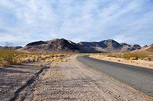 Bullfrog Hills at Rhyolite, Nevada | |
| Highest point | |
| Peak | Sawtooth Mountain |
| Elevation | 6,005 ft (1,830 m) |
| Geography | |
| Country | United States |
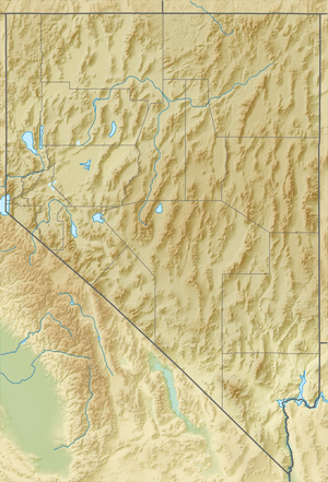
| State | Nevada |
| District | Nye County |
| Settlements | Beatty and Rhyolite |
| Range coordinates | 36°57′31.797″N 116°49′58.222″W |
| Borders on | List
|
| Topo map | USGS Beatty |
Geography
To the range's east are Beatty, the Amargosa River, US Route 95, and the Bare Mountains. The Amargosa Valley is on the southeast and on the south with Nevada State Route 374. To the southwest lies the Amargosa Range along the Nevada–California border. Death Valley National Park and the Grapevine Mountains are to the west. Pahute Mesa is to the north, beyond Sarcobatus Flat and US Route 95. [3][4]
The highpoint of the range is Sawtooth Mountain, at 6,005 feet (1,830 m) in elevation.[5]
The hill's southern flanks are part of the Amargosa Desert, a sub-ecoregion of the Mojave Desert and Great Basin Desert ecoregions.
Mining history
The historic Rhyolite mining district and town was in the Bullfrog Hills. The Tonopah and Tidewater Railroad crossed the hills to its Rhyolite Station via the Bullfrog Goldfield Railroad.
The Bullfrog mining district was located along the south margin of the hills. The original Bullfrog Mine is located on the south flank of Bullfrog Mountain to the west of Rhyolite, and now just inside the northeast corner of the Death Valley National Monument.[3]
See also
- Amargosa Toad
- Amargosa Desert topics
References
- "Bullfrog Hills". Geographic Names Information System. United States Geological Survey. December 12, 1980. Retrieved November 5, 2009.
- Federal Writers' Project (1941). Origin of Place Names: Nevada (PDF). W.P.A. p. 55.
- Beatty, Nevada–California, 30x60 Minute Topographic Quadrangle, USGS, 1986
- Pahute Mesa, Nevada, 30x60 Minute Topographic Quadrangle, USGS, 1979
- Nevada Atlas & Gazetteer, DeLorme, c. 2010, p. 64-65.