Brunstkopf
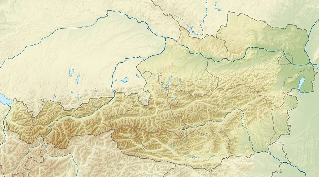
The Brunstkopf is a mountain immediately north of Zirl in the Karwendel Alps in the Austrian state of Tyrol. It is 1,719 metres high.[2]
| Brunstkopf | |
|---|---|
| Highest point | |
| Elevation | 1,719 m (AA) [1] |
| Coordinates | 47°17′41″N 11°16′28″E |
| Geography | |
| Location | near Zirl; Innsbruck Land, Tyrol (Austria) |
| Parent range | Karwendel |
Ascent
There are unmarked routes from the direction of the Garberskopf (1,903 m) along the arete to the northeast; and from the ridge to the south-southwest between the Lackental and Grabental re-entrants, the path branching off the mountain road (closed to private vehicles) above Hochzirl.[2]
References
- Bundesamt für Eich- und Vermessungswesen (BEV): Topographic map of Austria at AMAP online
- Seefeld Leutasch 1:25,000 hiking map, Wanderland-Verlag, 4th edn., 2011.
This article is issued from Wikipedia. The text is licensed under Creative Commons - Attribution - Sharealike. Additional terms may apply for the media files.