Brown County Airport
Brown County Airport (ICAO: KGEO, FAA LID: GEO) is a public-owned, public-use airport located 1-nautical-mile (1.9 km) north of the central business district of the city of Georgetown, in Brown County, Ohio, United States.[1]
Brown County Airport | |||||||||||
|---|---|---|---|---|---|---|---|---|---|---|---|
| Summary | |||||||||||
| Airport type | Public | ||||||||||
| Owner | Brown Co. Comm. | ||||||||||
| Serves | Georgetown, Ohio | ||||||||||
| Elevation AMSL | 958 ft / 292 m | ||||||||||
| Coordinates | 38°52′55″N 083°52′57″W | ||||||||||
| Map | |||||||||||
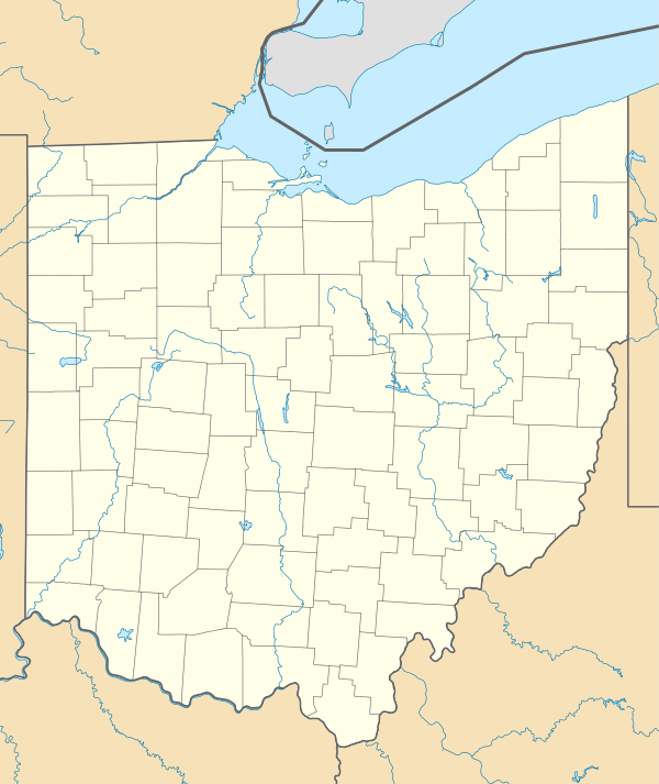 GEO Location of airport in Ohio/United States  GEO GEO (the United States) | |||||||||||
| Runways | |||||||||||
| |||||||||||
| Statistics (2009) | |||||||||||
| |||||||||||
Although many U.S. airports use the same three-letter location identifier for the FAA and IATA, this airport is assigned GEO by the FAA but has no designation from the IATA[2] (which assigned GEO to Cheddi Jagan International Airport in Timehri, Guyana[3]).
 Brown County Airport
 Brown County Airport
Facilities and aircraft
Brown County Airport covers an area of 42 acres (17 ha) at an elevation of 958 feet (292 m) above mean sea level. It has one asphalt paved runway: 18/36 is 3,530 by 65 feet (1,076 x 20 m).[1]
For the 12-month period ending May 22, 2009, the airport had 8,030 aircraft operations, an average of about 154 per week: 98% general aviation, 2% air taxi and <1% military. At that time there were 19 aircraft based at this airport: 90% single-engine, 5% multi-engine, and 5% helicopter.[1]
References
- FAA Airport Master Record for GEO (Form 5010 PDF), effective 2009-05-22.
- "Brown County Airport (ICAO: KGEO, FAA: GEO)". Great Circle Mapper. Retrieved 29 May 2010.
- "Cheddi Jagan International Airport GEO (IATA: GEO)". Great Circle Mapper. Retrieved 29 May 2010.
External links
- FAA Terminal Procedures for GEO, effective June 18, 2020
- Resources for this airport:
- FAA airport information for GEO
- AirNav airport information for GEO
- FlightAware airport information and live flight tracker
- SkyVector aeronautical chart for GEO