Broomhaugh
Broomhaugh is a village in Northumberland, in England. It is situated between Hexham and Newcastle, to the south of the River Tyne near Riding Mill, and adjacent to the A695 road.
| Broomhaugh | |
|---|---|
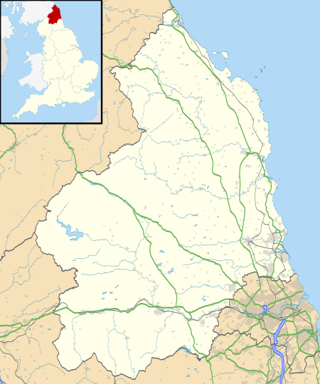 Broomhaugh Location within Northumberland | |
| OS grid reference | NZ015615 |
| Unitary authority | |
| Ceremonial county | |
| Region | |
| Country | England |
| Sovereign state | United Kingdom |
| Post town | RIDING MILL |
| Postcode district | NE44 |
| Dialling code | 01434 |
| Police | Northumbria |
| Fire | Northumberland |
| Ambulance | North East |
| UK Parliament | |
Broomhaugh lies at the eastern edge of the village of Riding Mill. Broomhaugh consists of a mix of stone buildings dating back to the 16th and 17th centuries, an Edwardian terrace and two brick-built terraces linked to the development of the railway between Newcastle and Carlisle. The earlier buildings include a former farm house, farm buildings converted into houses and a Methodist chapel and manse. The majority of the housing is located on what local people refer to as "The Street", which runs down to a former ford across the river Tyne. The Street follows the line of a former drovers' road down which cattle were driven from Scotland to the market towns of northern England.