Boranja
Boranja (Serbian Cyrillic: Борања) is a mountain in western Serbia, above the Drina river, between towns of Krupanj and Mali Zvornik. Its highest peak Crni vrh has an elevation of 856 m (2,808 ft) above sea level.[1]
| Boranja | |
|---|---|
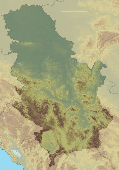 Boranja Location in Serbia | |
| Highest point | |
| Elevation | 856 m (2,808 ft) [1] |
| Coordinates | 44°22′34″N 19°15′32″E |
| Geography | |
| Location | Western Serbia |
| Parent range | Dinaric Alps |
References
- Jovan Đokić. "Katalog planina Srbije". PSD Kopaonik Beograd. Archived from the original on 2011-05-18.
This article is issued from Wikipedia. The text is licensed under Creative Commons - Attribution - Sharealike. Additional terms may apply for the media files.