Bolognesi Airport
Bolognesi Airport (ICAO: SPBL) is an airport serving the village of Bolognesi (es), capital of the Tahuanía District (es) in the Ucayali Region of Peru. The runway is just east of the village, which is near an oxbow of the Ucayali River.
Bolognesi Airport | |||||||||||
|---|---|---|---|---|---|---|---|---|---|---|---|
| Summary | |||||||||||
| Airport type | Private | ||||||||||
| Serves | Bolognesi (es), Peru | ||||||||||
| Elevation AMSL | 630 ft / 192 m | ||||||||||
| Coordinates | 10°01′45″S 73°56′30″W | ||||||||||
| Map | |||||||||||
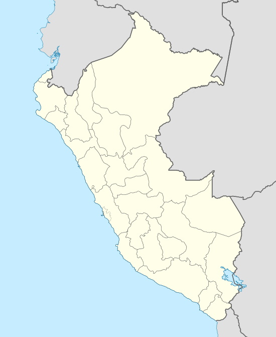 SPBL Location of the airport in Peru | |||||||||||
| Runways | |||||||||||
| |||||||||||
The Atalaya non-directional beacon (Ident: LAY) is located 42.9 nautical miles (79 km) south of the airport.[4]
See also


- Transport in Peru
- List of airports in Peru
References
- Airport information for Bolognesi Airport at Great Circle Mapper.
- "Bolognesi Airport". Google Maps. Google. Retrieved 9 March 2019.
- "Bolognesi Airport". SkyVector. Retrieved 9 March 2019.
- "Atalaya NDB". Our Airports. Retrieved 9 March 2019.
This article is issued from Wikipedia. The text is licensed under Creative Commons - Attribution - Sharealike. Additional terms may apply for the media files.