Bloße Zelle
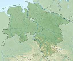
The Bloße Zelle is, at 480 m, the highest elevation on the Hils and in the Alfeld Uplands (Ith-Hils Upland). It lies on the boundary of the districts of Holzminden and Hildesheim, a good 4 kilometres northeast of Eschershausen.
| Bloße Zelle | |
|---|---|
 Bloße Zelle | |
| Highest point | |
| Elevation | 480.4 m above sea level (NN) (1,576 ft) |
| Prominence | 237 m ↓ Hillebach-Lenne-watershed north of Eimen-Vorwohle[1] → Solling |
| Isolation | 18 km → Großer Ahrensberg, Solling |
| Coordinates | 51°57′29″N 9°41′23″E |
| Geography | |
| Location | Lower Saxony, |
| Parent range | Hils, Alfeld Uplands, Leine Uplands |
With a topographic isolation of 18 kilometres and a prominence of about 235 metres[1] the Hils and the Blöße are among the loftiest ridges and summits, respectively, in the Lower Saxon Hills.
References
- Isolation and topographic prominence from TK 25; the wind gap lies at about 243 m.
This article is issued from Wikipedia. The text is licensed under Creative Commons - Attribution - Sharealike. Additional terms may apply for the media files.