Black Island (Ross Archipelago)
Black Island (78°14′S 166°20′E), in the Ross Archipelago, is immediately west of White Island. It was first named by the Discovery Expedition (1901–04) because of its lack of snow. The island's northernmost point is named Cape Hodgson, commemorating Thomas Vere Hodgson.[1]
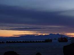 Black Island and Skidoos at Sunset | |
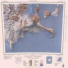
 Black Island Location in Antarctica | |
| Geography | |
|---|---|
| Location | Antarctica |
| Coordinates | 78°14′S 166°20′E |
| Archipelago | Ross Archipelago |
| Administration | |
| Administered under the Antarctic Treaty System | |
| Demographics | |
| Population | Uninhabited |
The highest point is Mount Aurora, a principal radio relay point. On the minor peak of Mt. Melania is the principal earth-based ground-station for the US Antarctic Program.
Black Island is volcanic in origin, consisting of a series of trachytic lava domes and basaltic pyroclastic cones. Potassium–argon dating of Black Island volcanic rocks has given ages ranging from 1.69 to 3.8 million years.[2]
See also
- List of volcanoes in Antarctica
- Composite Antarctic Gazetteer
- List of Antarctic islands south of 60° S
- SCAR
- Territorial claims in Antarctica
References
- "Thomas Vere Hodgson - Biographical notes". Cool Antarctica. Archived from the original on June 14, 2011. Retrieved January 13, 2010.
- "Black Island". Global Volcanism Program. Smithsonian Institution. Retrieved 2018-01-17.
External links
This article is issued from Wikipedia. The text is licensed under Creative Commons - Attribution - Sharealike. Additional terms may apply for the media files.