Bibia
Bibia is a municipality in the Amuru District of the Northern Region of Uganda.
Bibia | |
|---|---|
Municipality | |
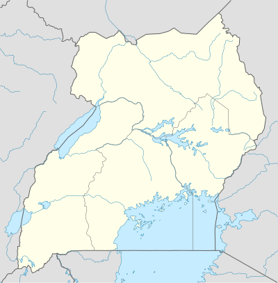 Bibia Location in Uganda | |
| Coordinates: 03°28′26″N 32°04′04″E | |
| Country | |
| Region | Northern Region of Uganda |
| Sub-region | Acholi sub-region |
| District | Amuru |
| Elevation | 3,220 ft (980 m) |
Location
Bibia is in the Acholi sub-region of the Northern Region. It is approximately 26 kilometres (16 mi), by road, north of Atiak, the nearest town in the district.[1] Bibia is approximately 4.5 kilometres (3 mi), by road, south of the Ugandan border town of Elegu, at the International border with South Sudan.[2] Bibia is about 96 kilometres (60 mi), by road, north of Gulu, the largest city in the sub-region.[3] The coordinates of Bibia are 3°28'26.0"N, 32°04'04.0"E (Latitude:3.4739; Longitude:32.0678).[4]
Overview
Bibia is a market town and the second human settlement, after the border town of Elegu, on the Gulu–Nimule Road that enters Uganda from South Sudan. As of July 2011, Bibia was a small but growing town, whose infrastructure was still in its infancy.[5]
References
- GFC (23 July 2015). "Road Distance Between Atiak And Bibia With Map". Globefeed.com (GFC). Retrieved 23 July 2015.
- GFC, . (11 August 2015). "Road Distance Between Bibia And Elegu With Map". Globefeed.com (GFC). Retrieved 11 August 2015.CS1 maint: numeric names: authors list (link)
- GFC (23 July 2015). "Map Showing Gulu And Bibia With Route Marker". Globefeed.com (GFC). Retrieved 23 July 2013.
- Google (23 July 2015). "Location of Bibia At Google Maps" (Map). Google Maps. Google. Retrieved 23 July 2015.
- Olaka, Dennis (2 May 2011). "Angry Mob Lynch One In Bibia". Uganda Radio Network. Retrieved 23 July 2015.