Berseba
Berseba (Nama: ǃAutsawises) is a village in the ǁKaras Region of southern Namibia and the district capital of the Berseba electoral constituency. It is situated 100 km (62 mi) north-west of Keetmanshoop near the Brukkaros Mountain, a famous tourist destination.
Berseba ǃAutsawises | |
|---|---|
village | |
 Lutheran church in Berseba during German colonial times | |
| Nickname(s): The smile on the face of Brukkaros[1] | |
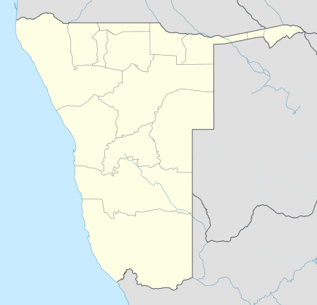 Berseba Location in Namibia | |
| Coordinates: 25°58′S 17°46′E | |
| Country | |
| Region | ǁKaras Region |
| Constituency | Berseba Constituency |
| Elevation | 3,041 ft (926 m) |
| Population | |
| • Total | 5,000 |
| Time zone | UTC+2 (SAST) |
| Climate | BWh |
History
The first people to permanently settle at this place, then known under its Khoikhoi name ǃAutsawises, were a group of Khoi herder clans from the Cape Province, driven across the Orange River by encroaching European settlers and the law enforcement of the Dutch East India Company. They arrived in the area of Berseba in 1812.[2] In 1850 their patriarch Paul Goliath established himself as independent leader of this community that subsequently became known as the Berseba Orlam (Nama: ǀHai-ǀkhaua).
The foundation of Berseba is recorded on 17 October 1850 when Rhenish Missionary Samuel Hahn founded the missionary station and gave it a biblically inspired name. In 1857 a church was built.[1]
People
Since the establishment of the chieftainship of the Berseba Orlam it been held by the Goliath and Isaak clans who often were in dispute about the succession.[3] In the 1960s the two clans split over the leadership issue and only reunited in April 2010. Today, Kaptein Johannes Isaak is the traditional leader of the ǀHai-ǀkhaua.[4]
Development and Infrastructure
The first diamond in Namibia was found in this area in 1898,[5] and oil explorations were conducted in 1900[6] and 1929,[7] though neither led to substantial industrial development. The settlement is riddled with poverty, substance abuse, and crime. It features a secondary school, the Ecumenical Community School, which was in 2010 declared "unfit to serve as an educational institution" and has since been abandoned.[8]
Berseba is connected by road to Tses (MR98), Bethanie (D3901 and D3905), Asab (D3903), Helmeringhausen (D554) and Keetmanshoop (D531), as well as to the Brukkaros tourist site (D3904).
Politics
Berseba is governed by a village council that currently has five seats.[9] In the 2010 local authority election it was one of a few local authorities in Namibia where an opposition party obtained more votes for the village council than SWAPO when the Democratic Turnhalle Alliance (DTA) defeated SWAPO 221 votes to 200. No other party participated in the election for the Berseba Village Council.[10] The 2015 local authority election was narrowly won by SWAPO party which gained three seats (266 votes). The DTA finished second and gained the remaining two seats (200 votes).[11]
References
- "Karas Region Namibia, Berseba". Karas Regional Council. Archived from the original on 29 February 2012. Retrieved 14 July 2010.
- "Karas Region Namibia, Kara's People". Karas Regional Council. Archived from the original on 20 November 2008. Retrieved 26 December 2018.
- Dierks, Klaus. "Biographies of Namibian Personalities, Goliath entries". Retrieved 24 June 2010.
- Cloete, Luqman (3 June 2010). "Goliath splinter faction defends Boois". The Namibian.
- Dierks, Klaus. "Chronology of Namibian History, 1898". Retrieved 11 April 2011.
- Dierks, Klaus. "Chronology of Namibian History, 1900". Retrieved 11 April 2011.
- Dierks, Klaus. "Chronology of Namibian History, 1929". Retrieved 11 April 2011.
- Rhodes, Fifi (13 July 2010). "Governor lambastes learners, teachers". New Era. Archived from the original on 21 February 2013.
- "Know Your Local Authority". Election Watch (3). Institute for Public Policy Research. 2015. p. 4.
- Local Authority results 2010 Archived July 17, 2011, at the Wayback Machine Electoral Commission of Namibia
- "Local elections results". Electoral Commission of Namibia. 28 November 2015. p. 3. Archived from the original on 10 December 2015. Retrieved 4 September 2017.