Belvidere Range
The Belvidere Range is a mountain range of the Northern Mount Lofty Ranges in South Australia.
| Belvidere Range | |
|---|---|
| Nain Range | |
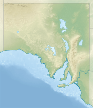 Location of the Peters Hill at the approximate centre of the range | |
| Geography | |
| Country | Australia |
| State | South Australia |
| Region | Northern Mount Lofty Ranges |
| Range coordinates | 34°10′42″S 138°49′56″E |
The range was named in 1841 by early geologist/explorer Johannes Menge because he thought the highest point commanded a beautiful view (Latin bellus meaning beaufitful and videre meaning sight).[1][2]
The range commences in the south at Nain and Greenock, where it is also known as the Nain Range, and rises almost exactly northwards to end near Black Springs.
The Hundred of Belvidere (proclaimed in 1851) and Belvidere Mine (a historic marble mine and consequent hamlet called Belvidere) south east of Kapunda township beside a crossing of the River Light, were likely named for the Belvidere Range which overlooks the mine and the west of the hundred.
References
- "GEOLOGY OF SOUTH AUSTRALIA. No. 2". South Australian Register. IV (179). South Australia. 26 June 1841. p. 3. Retrieved 1 December 2017 – via National Library of Australia.
I was obliged to fix the places where minerals occur by name of my own invention. Where Ranges had been named I used them, but I gave the name to the Belvidere Range, because of the beautiful prospect I enjoyed on the top of the highest one in it;
- "STATISTICAL ACCOUNT OF SOUTH AUSTRALIA". South Australian. VII (581). South Australia. 10 December 1844. p. 2. Retrieved 1 December 2017 – via National Library of Australia.
Belvidere Range – Oxides of iron (various), varieties of compact quartz, zeolite do., flinty slate, hornstone, opal, zeolite, garnet, hornblende, alum-stone, talc, feldspar, dolomite, alum, plumbago or black lead, grey wacke.
This article is issued from Wikipedia. The text is licensed under Creative Commons - Attribution - Sharealike. Additional terms may apply for the media files.