Barrowden
Barrowden is a village in Rutland in the East Midlands of England.
| Barrowden | |
|---|---|
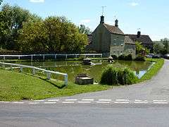 The Duck Pond, Barrowden | |
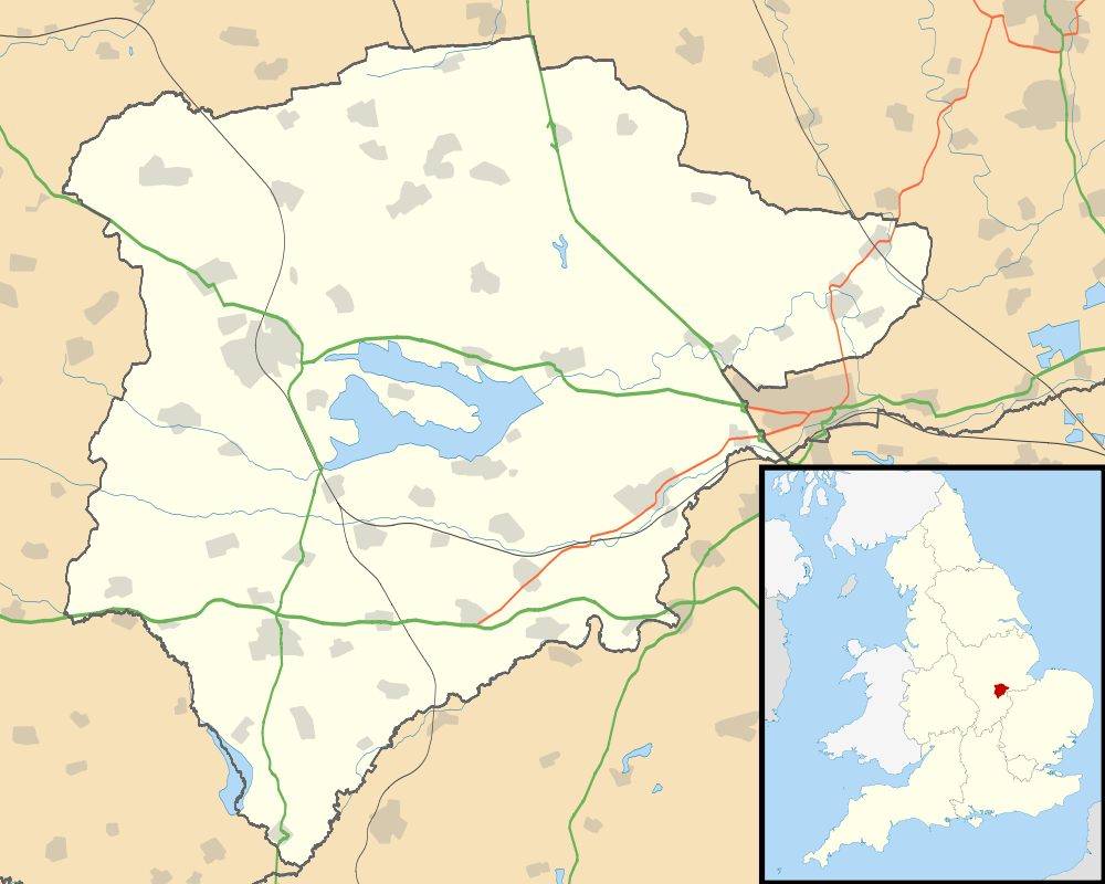 Barrowden Location within Rutland | |
| Area | 3.24 sq mi (8.4 km2) [1] |
| Population | 420 2001 Census[2] |
| • Density | 130/sq mi (50/km2) |
| OS grid reference | SK946000 |
| • London | 78 miles (126 km) SSE |
| Unitary authority | |
| Shire county | |
| Ceremonial county | |
| Region | |
| Country | England |
| Sovereign state | United Kingdom |
| Post town | OAKHAM |
| Postcode district | LE15 |
| Dialling code | 01572 |
| Police | Leicestershire |
| Fire | Leicestershire |
| Ambulance | East Midlands |
| UK Parliament | |
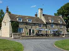
The population of the civil parish was 506 at the 2011 census.[3] There is a church, a village hall, a doctor's surgery and pharmacy, a community shop, a mobile library, a recreational field with cricket club and a pub, The Exeter Arms.
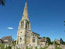
The parish church is dedicated to St Peter. In an ancient tradition's rushes or hay are laid on the floors of nave and porch for St Peter's Day (29 June).
Barrowden is part of Ketton ward on Rutland County Council. The Rutland Round and Jurassic Way long-distance paths pass through the village.
Marianne Mason (1807–1884), a farmer's daughter who taught at the Baptist Sunday school at Barrowden, married Thomas Cook here on 2 March 1833.
The village was served by Wakerley and Barrowden railway station from 1873 to 1966. The station was across the Welland in the neighbouring parish of Wakerley.
References
- "A vision of Britain through time". University of Portsmouth. Retrieved 28 January 2009.
- "Rutland Civil Parish Populations" (PDF). Rutland County Council. 2001. Archived from the original (PDF) on 12 October 2007. Retrieved 25 January 2009.
- "Civil Parish population 2011". Neighbourhood Statistics. Office for National Statistics. Retrieved 24 June 2016.