B4518 road
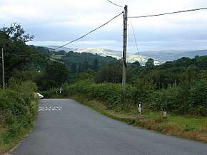
The B4518 road is a road in Powys, central Wales, with a total length of 30.5 miles (49.1 km). It begins at 52°18′5″N 3°30′41″W in Rhayader near the junction of the A470 road and the A44 road and leads eventually to the A470 again at Llanbrynmair at 52°36′42″N 3°37′38″W. En route going north from Rhayader it passes through the following settlements: St Harmon, Pant-y-Dwr, Tylwch, Llanidloes (where it crosses the A470 again), Staylittle, Pont Crugnant, Pennant, Bont Dolgadfan, Llan and Plas Esgair.[1] It passes through the Clywedog Valley and Clywedog Reservoir, built in 1964.[2]
| B4518 | |
|---|---|
 | |
| Route information | |
| Length | 30.5 mi (49.1 km) |
| Major junctions | |
| Southeast end | Rhayader |
| A470 road | |
| Northwest end | Llanbrynmair |
| Road network | |
References
- Google Maps (Map). Google.
- Beazley, Elisabeth; Howell, Peter (1975). The companion guide to North Wales. Collins. pp. 304–13. ISBN 978-0-00-211199-7.
This article is issued from Wikipedia. The text is licensed under Creative Commons - Attribution - Sharealike. Additional terms may apply for the media files.