Ashburton (ward)
Ashburton was a ward in the London Borough of Croydon, in London in the United Kingdom. The ward covered the Ashburton area, as well as covering the main retail area of Addiscombe, the Stroud Green, Tollgate and Longheath Garden estates, and large parts of northern Shirley. The population of the ward at the 2011 Census was 14,721.[1]
| Ashburton | |
|---|---|
| Former ward for Croydon Council | |
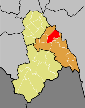 Boundary of Ashburton in Croydon from 2002 to 2018. | |
| County | Greater London |
| 1978–2018 | |
| Number of councillors | Three |
| Replaced by | Addiscombe East |
| UK Parliament constituency | Croydon Central |
The ward formed part of the Croydon Central constituency, which is one of the most marginal in the country, 165 votes separating the Conservatives and Labour at the 2015 General Election.
The ward returned three councillors every four years to Croydon Council. At the 2014 London local elections Maddie Henson, Stephen Mann, and Andrew Rendle were elected to the council achieving a 9% swing. All of them were running as Labour Party candidates.
Ward result
| Party | Candidate | Votes | % | ± | |
|---|---|---|---|---|---|
| Conservative | Edwin S. Arram | 3,175 | |||
| Conservative | Avril E.M. Slipper | 2,974 | |||
| Conservative | Adam Kellett | 2,866 | |||
| Labour | Mark Justice | 2,234 | |||
| Labour | Madelaine R. Goulder | 2,206 | |||
| Labour | Shorish Barzinji | 1,979 | |||
| Liberal Democrats | Peter S. Ladanyi | 1,290 | |||
| Green | Bernice C. Goldberg | 647 | |||
| UKIP | David M. Aina | 557 | |||
| BNP | Tony L. Martin | 419 | |||
| Green | Tim Fernandes-Bonnar | 407 | |||
| Green | Sergio M. Petro | 385 | |||
| Turnout | 7,056 | 66.6% | |||
| Registered electors | 11,774 | ||||
| Conservative hold | Swing | ||||
| Conservative hold | Swing | ||||
| Conservative hold | Swing | ||||
| Party | Candidate | Votes | % | ± | |
|---|---|---|---|---|---|
| Conservative | Lindsay Frost | 2,513 | |||
| Conservative | Eddy Arram | 2,431 | |||
| Conservative | Avril Slipper | 2,390 | |||
| Labour | Rona MacDonald | 1,057 | |||
| Labour | Peter Spalding | 971 | |||
| Labour | Jitinder Singh | 904 | |||
| Green | Bernice Golberg | 628 | |||
| Liberal Democrats | Nirma Ramful | 550 | |||
| UKIP | Jeanette Nathan | 336 | |||
| Turnout | 4,324 | 42.7% | |||
| Conservative hold | Swing | ||||
| Conservative hold | Swing | ||||
| Conservative hold | Swing | ||||
References
- "Croydon Ward population 2011". Neighbourhood Statistics. Office for National Statistics. Retrieved 10 October 2016.