Alton, Derbyshire
Alton is a very small village in Derbyshire, England.[1][2] Alton is in the civil parish of Ashover, and is around 2 miles away from Clay Cross although it is not part of the town. The village does not have a church, a school or a public house; the nearest public house is in Ashover. Being a rural community, Alton is surrounded by several farms.
| Alton | |
|---|---|
 Alton village | |
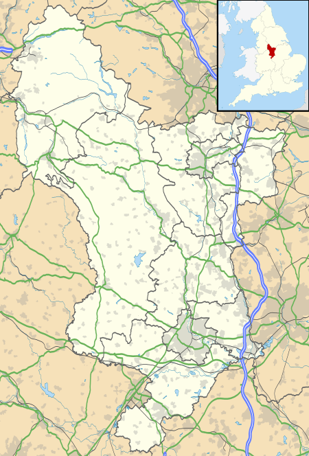 Alton Location within Derbyshire | |
| OS grid reference | SK361642 |
| District | |
| Shire county | |
| Region | |
| Country | England |
| Sovereign state | United Kingdom |
| Post town | CHESTERFIELD |
| Postcode district | S42 |
| Police | Derbyshire |
| Fire | Derbyshire |
| Ambulance | East Midlands |
Alton also has easy access to local landmark Ashover Rock, or the Fabrick as it is locally known.
See also
References
- Ordnance Survey: Landranger map sheet 119 Buxton & Matlock (Chesterfield, Bakewell & Dove Dale) (Map). Ordnance Survey. 2012. ISBN 9780319231890.
- "Ordnance Survey: 1:50,000 Scale Gazetteer" (csv (download)). www.ordnancesurvey.co.uk. Ordnance Survey. 1 January 2016. Retrieved 30 January 2016.
This article is issued from Wikipedia. The text is licensed under Creative Commons - Attribution - Sharealike. Additional terms may apply for the media files.