Akuse
Akuse is a town in the Lower Manya Krobo district of the Eastern Region of Ghana situated between Tema and Akosombo.
Akuse | |
|---|---|
 Akuse | |
| Coordinates: 6°06′00″N 0°08′00″W | |
| Country | |
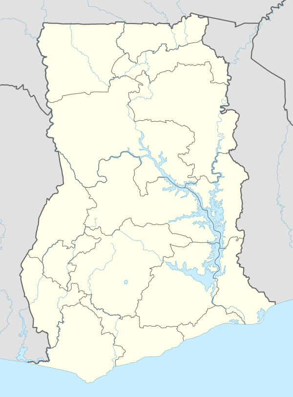
| Region | Eastern Region |
| District | Lower Manya Krobo District |
| Elevation | 52 ft (16 m) |
| Time zone | GMT |
| • Summer (DST) | GMT |
It is a fast growing community thanks to a number of companies operating from the area which is attracting skill and capital.
The community hosts a number of public institutions as well including Ghana Prisons, Ghana Health Service, Meteorological Services and Ghana Police Service.
The Kpong Hydro Generation Plant is located in Akuse and managed by the Volta River Authority (VRA). [1][2]
Climate
| Climate data for Akuse | |||||||||||||
|---|---|---|---|---|---|---|---|---|---|---|---|---|---|
| Month | Jan | Feb | Mar | Apr | May | Jun | Jul | Aug | Sep | Oct | Nov | Dec | Year |
| Record high °C (°F) | 37.8 (100.0) |
39.4 (102.9) |
39.4 (102.9) |
40.0 (104.0) |
37.2 (99.0) |
35.6 (96.1) |
34.4 (93.9) |
35.6 (96.1) |
35.0 (95.0) |
35.6 (96.1) |
36.1 (97.0) |
36.1 (97.0) |
40.0 (104.0) |
| Average high °C (°F) | 33.8 (92.8) |
35.0 (95.0) |
34.9 (94.8) |
33.9 (93.0) |
33.1 (91.6) |
30.7 (87.3) |
29.5 (85.1) |
30.0 (86.0) |
31.3 (88.3) |
32.0 (89.6) |
33.1 (91.6) |
33.3 (91.9) |
32.6 (90.7) |
| Daily mean °C (°F) | 27.7 (81.9) |
28.9 (84.0) |
29.9 (85.8) |
28.5 (83.3) |
28.0 (82.4) |
26.4 (79.5) |
25.4 (77.7) |
25.4 (77.7) |
26.4 (79.5) |
26.8 (80.2) |
27.4 (81.3) |
27.2 (81.0) |
27.3 (81.1) |
| Average low °C (°F) | 21.6 (70.9) |
22.8 (73.0) |
23.3 (73.9) |
23.1 (73.6) |
22.9 (73.2) |
22.2 (72.0) |
21.4 (70.5) |
20.9 (69.6) |
21.5 (70.7) |
21.5 (70.7) |
21.7 (71.1) |
21.1 (70.0) |
22.0 (71.6) |
| Record low °C (°F) | 12.0 (53.6) |
16.0 (60.8) |
20.0 (68.0) |
19.5 (67.1) |
20.0 (68.0) |
18.5 (65.3) |
16.5 (61.7) |
16.5 (61.7) |
18.5 (65.3) |
20.0 (68.0) |
18.0 (64.4) |
13.0 (55.4) |
12.0 (53.6) |
| Average precipitation mm (inches) | 23 (0.9) |
49 (1.9) |
98 (3.9) |
126 (5.0) |
147 (5.8) |
181 (7.1) |
68 (2.7) |
37 (1.5) |
95 (3.7) |
115 (4.5) |
102 (4.0) |
41 (1.6) |
1,082 (42.6) |
| Average precipitation days (≥ 0.3 mm) | 2 | 3 | 9 | 9 | 12 | 15 | 9 | 7 | 11 | 13 | 10 | 4 | 104 |
| Average relative humidity (%) | 52 | 52 | 59 | 55 | 64 | 69 | 69 | 68 | 63 | 63 | 60 | 60 | 58 |
| Mean monthly sunshine hours | 220.1 | 214.7 | 217.0 | 204.0 | 220.1 | 135.0 | 142.6 | 170.5 | 147.0 | 220.1 | 231.0 | 244.9 | 2,367 |
| Mean daily sunshine hours | 7.1 | 7.6 | 7.0 | 6.8 | 7.1 | 4.5 | 4.6 | 5.5 | 4.9 | 7.1 | 7.7 | 7.9 | 6.5 |
| Source: Deutscher Wetterdienst[3] | |||||||||||||
References
- Lower Manya Krobo District
- "Klimatafel von Akuse / Ghana" (PDF). Baseline climate means (1961-1990) from stations all over the world (in German). Deutscher Wetterdienst. Retrieved 18 October 2016.
This article is issued from Wikipedia. The text is licensed under Creative Commons - Attribution - Sharealike. Additional terms may apply for the media files.