Akuliarutsip Sermerssua
Akuliarutsip Sermerssua, also known as Nordenskiöld Glacier, (Danish: Nordenskiöld Gletscher), is a large glacier located on the east coast of Greenland.
| Akuliarutsip Sermerssua | |
|---|---|
| Nordenskiold Glacier | |
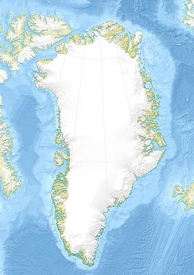 Location within Greenland | |
| Location | Greenland |
| Coordinates | 73°3′N 28°13′W |
| Area | 62,647 km (38,927 mi) |
| Terminus | Kaiser Franz Joseph Fjord Greenland Sea |
Geography
This glacier flows into the head of the Kaiser Franz Joseph Fjord, just 7 km (4.3 mi) west of the mouth of Kjerulf Fjord, and marks the southern limit of Fraenkel Land and the northern of Goodenoughland.[1] Petermann Peak, one of the highest mountains in Greenland, and the highest in the area, rises to a height of 2,943 metres (9,656 ft) on a nunatak rising right by the northern side of the fjord.[2]
The Nordenskiöld Glacier flows roughly in a WSW/ENE direction, draining an area of 62,647 km (38,927 mi) of the Greenland Ice Sheet with a flux (quantity of ice moved from the land to the sea) of 10.7 km3 (2.6 cu mi) per year, as measured for 1996.[3]
See also
References
- "Kjerulf Fjord". Mapcarta. Retrieved 10 October 2019.
- Map (PDF; 3,4 MB) von Nordostgrönland im Maßstab 1:1.000.000, De Nationale Geologiske Undersøgelser for Danmark og Grønland (GEUS)
- Rignot E., Kanagaratnam P. (2006). "Changes in the velocity structure of the Greenland Ice Sheet" (PDF). Science. 311 (5763): 986–990. doi:10.1126/science.1121381. PMID 16484490.