Above Derwent
Above Derwent is a civil parish in the Borough of Allerdale in Cumbria, England. It lies entirely within the Lake District National Park.[1]
| Above Derwent | |
|---|---|
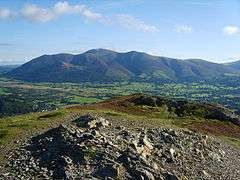 The summit of Barrow | |
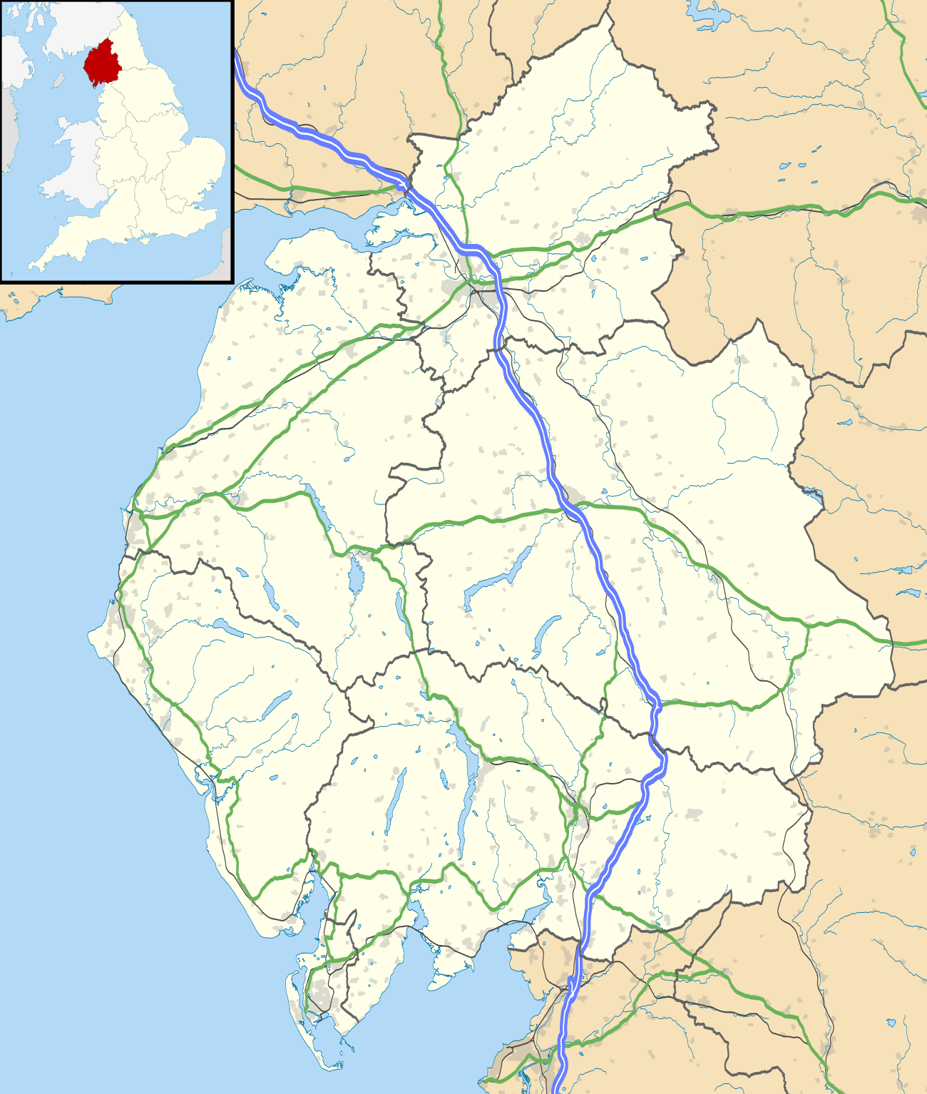 Above Derwent Location within Cumbria | |
| Population | 1,198 (2011) |
| OS grid reference | NY231236 |
| Civil parish |
|
| District | |
| Shire county | |
| Region | |
| Country | England |
| Sovereign state | United Kingdom |
| Post town | Keswick |
| Postcode district | CA12 |
| Police | Cumbria |
| Fire | Cumbria |
| Ambulance | North West |
| UK Parliament | |
The parish is within the Workington constituency of the UK Parliament. It has a population of 1,207 living in 516 households,[1][2] decreasing at the 2011 Census to a population of 1,198 in 514 households.[3]
History
Above Derwent CP comprised the ancient townships of Braithwaite, Coledale or Portinscale, and Thornthwaite, and the chapelry of Newlands",[4]
The population, according to the 1811 Census, was 668, "rising to 1115 in 1851 and the stable throughout the 19th Century"[4]
Topography
The parish is bounded to the east by Derwent Water, the River Derwent and Bassenthwaite Lake, it includes sections of both lakes. To the West and South, the parish is bounded by the summit of Lord's Seat, the Whinlatter Pass, the summits of Grisedale Pike and Crag Hill, the Newlands Pass, and the summits of Robinson and Catbells.The parish comprises relatively low level land alongside and between both lakes, together with the Newlands Valley, and large areas of the surrounding fells. It includes the settlements of Braithwaite, Thornthwaite, Portinscale, Stair and Little Town.[1] The A66 primary route enters the CP at its most Northerly point, Beck Wythop. The most Southerly point of the CP is approx. 700m, S10W of Dalehead Tarn.[5]
Governance
Above Derwent falls in the electoral ward of Derwent Valley. The total population of this ward taken at the 2011 Census was 1,615.[6]
See also
References
- "Election Maps". Ordnance Survey. Archived from the original on 5 January 2010. Retrieved 14 January 2010.
- "Census 2001 : Parish Headcounts : Allerdale". Office for National Statistics. Retrieved 22 November 2009.
- "Parish population 2011". Retrieved 17 June 2015.
- "Above Derwent". Cumbria County History Trust. 2013. Retrieved 22 March 2013.
- http://streetmap.co.uk/idld.srf?x=322508&y=520984&z=120&sv=322508,520984&st=4&mapp=idld.srf&dn=740&ax=322508&ay=520984&lm=0
- "Derwent Valley ward population 2011". Retrieved 17 June 2015.