A970 road
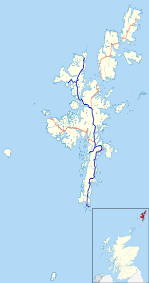
The A970 is a single-carriageway road that runs from south to north of Mainland Shetland, Scotland.[1][2][3] The road also spurs to Scalloway[2] and North Roe.[4]
| |
|---|---|
 | |
.jpg) | |
| Major junctions | |
| North end | North Roe |
| South end | Sumburgh |
| Location | |
| Primary destinations | Lerwick, Scalloway, Hillswick |
| Road network | |

The road crosses the end of a runway at Sumburgh Airport. The road is closed with barriers when flights are taking off or landing.
References
- Ordnance Survey. "View: Sheet 2, Shetland Islands (North Mainland) - Ordnance Survey One-inch to the mile maps of Great Britain, Seventh Series, 1952-1961". National Library of Scotland. National Library of Scotland. Retrieved 23 January 2016.
- Ordnance Survey. "View: Sheet 4, Shetland Islands ( South Mainland) - Ordnance Survey One-inch to the mile maps of Great Britain, Seventh Series, 1952-1961". National Library of Scotland. National Library of Scotland. Retrieved 23 January 2016.
- Ordnance Survey. "View: Sheet 1, Shetland Islands (Yell & Unst) - Ordnance Survey One-inch to the mile maps of Great Britain, Seventh Series, 1952-1961". National Library of Scotland. National Library of Scotland. Retrieved 23 January 2016.
- Shetland - Mainland North West (Map) (A1 ed.). 1:25000. Southampton: Ordnance Survey. 2007. § South Sheet. ISBN 9780319240052. OCLC 1043106388. Explorer Map 469.
This article is issued from Wikipedia. The text is licensed under Creative Commons - Attribution - Sharealike. Additional terms may apply for the media files.