Červená hora (Nízký Jeseník)
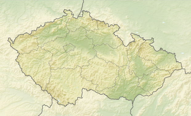
Červená hora (English: Red Mountain[1]) is a flat geological formation in the Nízký Jeseník mountain range in Moravia, the Czech Republic. With 749 metres (2,457 ft) above sea level it is the highest formation of the Domašov Highlands, which are a part of the Nízký Jeseník, and the highest formation in the Opava District.[2] A hydrometeorological station and a station of the European Fireball Network at the same time is located here.[3]
| Červená hora | |
|---|---|
 Červená hora | |
| Highest point | |
| Elevation | 749 m (2,457 ft) |
| Coordinates | 49°46′36″N 17°32′30″E |
| Geography | |
| Location | Czech Republic |
| Parent range | Nízký Jeseník |
Related articles
References
- "The Red Mountain – meteorological station". Turistická oblast Opavské Slezsko. Retrieved 16 October 2016.
- "Červená hora". Nízký Jeseník.cz (in Czech).
- Borovička, J.; Ceplecha, Z. (April 1992). "Earth-grazing fireball of October 13, 1990". Astronomy and Astrophysics. 257 (1): 323–328. Bibcode:1992A&A...257..323B. ISSN 0004-6361. Retrieved 26 March 2015.
This article is issued from Wikipedia. The text is licensed under Creative Commons - Attribution - Sharealike. Additional terms may apply for the media files.