Watchaug Pond
| Watchaug pond | |
|---|---|
 | |
 Watchaug pond | |
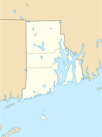
| Location | Washington County, Rhode Island, United States |
| Coordinates | 41°23′00″N 71°41′23″W / 41.3834339°N 71.6897864°WCoordinates: 41°23′00″N 71°41′23″W / 41.3834339°N 71.6897864°W |
| Type | kettle pond |
| Basin countries | United States |
| Surface area | 573 acres (2.32 km2) |
| Average depth | 8 ft (2.4 m) |
| Max. depth | 36 ft (11 m) |
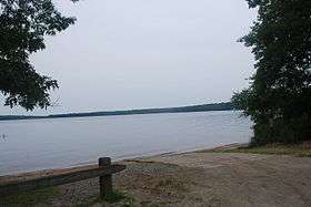
Watchaug pond is a kettle pond (lake) located at the southern tip of Rhode Island, in the town of Charlestown. It is surrounded by nature trails and is near the Audubon Society's Kimball Wildlife Refuge. The 573-acre (2.32 km2) pond is within 3,000 acres (12 km2) of public land. To access the public cement boat ramp at this pond, follow Prosser Trail to Sanctuary Road. The Kettle Pond Visitor Center, operated by U.S. Fish & Wildlife Service and the Rhode Island National Wildlife Refuge, hosts school field trips and educational programs about the pond's flora, fauna and habitats.
External links
- "Watchaug Pond". Geographic Names Information System. United States Geological Survey.
- Kettle Pond Visitor Center at Watchuag Pond
This article is issued from
Wikipedia.
The text is licensed under Creative Commons - Attribution - Sharealike.
Additional terms may apply for the media files.