Uttarlai
| Uttarlai | |
|---|---|
| Village | |
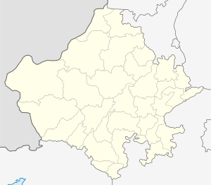
 Uttarlai Location in Rajasthan, India  Uttarlai Uttarlai (India) | |
| Coordinates: 25°48′46″N 071°28′56″E / 25.81278°N 71.48222°E | |
| Country |
|
| State | Rajasthan |
| District | Barmer |
| Government | |
| • Body | Gram Panchayat |
| Elevation | 164 m (538 ft) |
| Population | |
| • Total | 2,039 |
| Languages | |
| • Official | Hindi |
| Time zone | UTC+5:30 (IST) |
| ISO 3166 code | RJ-IN |
| Vehicle registration | RJ-04 |
| Nearest city | Barmer |
| Lok Sabha constituency | Barmer (Lok Sabha constituency) |
| Civic agency | kurla Gram Panchayat |
Uttarlai is a village in Barmer district of Rajasthan state of India. It also has an Air Force station nearby named after it.
According to the 2011 Census of India, population of the Uttarlai,
References
This article is issued from
Wikipedia.
The text is licensed under Creative Commons - Attribution - Sharealike.
Additional terms may apply for the media files.