Tsigereda
| Tsigereda ጽገረዳ | ||
|---|---|---|
| Town | ||
| ||
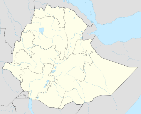 Tsigereda Location within Ethiopia | ||
| Coordinates: 13°46′N 39°21′E / 13.767°N 39.350°ECoordinates: 13°46′N 39°21′E / 13.767°N 39.350°E | ||
| Country | Ethiopia | |
| Region | Tigray | |
| Zone | Misraqawi (Eastern) | |
| Woreda | Kilte Awulaelo | |
| Elevation | 2,000 m (7,000 ft) | |
| Time zone | UTC+3 (EAT) | |

Tsigereda (Tigrinya: ጽገረዳ) is a town in northern Ethiopia. Located in the Misraqawi (Eastern) Zone of the Tigray Region (or kilil), this town has a latitude and longitude of 13°46′N 39°21′E / 13.767°N 39.350°E with an elevation of 1960 to 2050 meters above sea level. It is the second largest settlement in Wukro woreda, after Wukro itself. In Imperial times (before 1975), Tsigereda used to be the center of the Gere-alta woreda, part of the former Enderta province. This Gere-alta woreda consisted of the western part of the current Hawzen and Kilte Awulaelo districts.
The Gindae water reservoir was constructed northwest of the town of Tsigereda for agricultural purposes.
This article is issued from
Wikipedia.
The text is licensed under Creative Commons - Attribution - Sharealike.
Additional terms may apply for the media files.