Tennis, Egypt
| Tennis تنيس | |
|---|---|
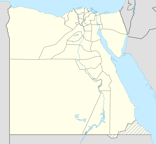 Tennis تنيس Location in Egypt | |
| Coordinates: 31°12′N 32°14′E / 31.200°N 32.233°ECoordinates: 31°12′N 32°14′E / 31.200°N 32.233°E | |
| Country |
|
| Governorate | Port Said |
| Time zone | UTC+2 (EST) |
Tennis or Tinnis (Arabic: تنيس, Coptic: ⲑⲉⲛⲛⲉⲥⲓ[1]) was a medieval city in Egypt. Its modern territory is situated at 31°12′N 32°14′E / 31.200°N 32.233°E, on an island in Manzala Lake, southwest of Port Said.
Etymology
The city's name was taken from Lake Tinnis, Lake Manzala's name at the time.[2]
History
Prosperity
Tennis was an important port, exporting agricultural products of Egypt, particularly textiles, of which itself is famed for producing[3] throughout the Middle East, due to its geographical location served by the main eastern tributary of the Nile in medieval times, according to Muhammad al-Idrisi . By using the tributary, ships can enter the calmer waters of lake Tinnis before entering the Mediterranean proper to avoid rough waves, which was a huge problem for ships at that era shall they directly enter the sea, owing to the conditions at the mouth.The lake allows for boats to wait out rough conditions unlike at Domyat or Rashid where the Nile empties directly into the sea, which makes it "port of the lands of Byzantium, the Frankish periphery, Cyprus,the whole length of the Levant coast and the entrepôts of Iraq" according to ibn Zulaq.[2] The independent section given to it by The book of curiousities, a set of important maps possibly made for caliph al‐Ma'mūn also testifies to its importance.[4]
Abandonment
The city's outward location, makes water difficult to come by , as well as cramped conditions are negatives. Moreover, its outward location meant difficulty defending it against seaborne enemies, especially the crusaders. In 1192-3 Saladin ordered the abandonment of the civic settlement, leaving only a military fort whilst commerce was moved to more defensible Domyat. Following the siege of Damietta, Egyptian authorities razed the fort.[2]
References
- ↑ https://st-takla.org/books/pauline-todary/coptic-language/egyptian.html
- 1 2 3 Cooper, John P. (1 April 2012). ""Fear God; Fear the Bogaze": The Nile Mouths and the Navigational Landscape of the Medieval Nile Delta, Egypt". Al-Masaq. 24 (1): 68–69.
- ↑ Mouton, J.-M. (2000). "Tinnīs". In Bearman, P. J.; Bianquis, Th.; Bosworth, C. E.; van Donzel, E.; Heinrichs, W. P. The Encyclopaedia of Islam, New Edition, Volume X: T–U. Leiden: E. J. Brill. ISBN 90-04-11211-1.
- ↑ Johns, Jeremy; Savage‐Smith, Emilie (1 October 2003). "The Book of Curiosities : A Newly Discovered Series of Islamic Maps". Imago Mundi. 55 (1): 10. doi:10.1080/0308569032000095451.
Further reading
Bennison, A. K., & Gascoigne, A. L. (2007). Cities in the pre-modern Islamic world: The urban impact of state, society and religion. New York, NY: Routledge.