Te Manga
| Te Manga | |
|---|---|
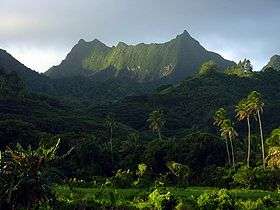 Te Manga viewed from the south coast. | |
| Highest point | |
| Elevation | 652 m (2,139 ft) |
| Prominence | 652 m (2,139 ft) |
| Coordinates | 21°13′42″S 159°45′2″W / 21.22833°S 159.75056°WCoordinates: 21°13′42″S 159°45′2″W / 21.22833°S 159.75056°W |
| Geography | |
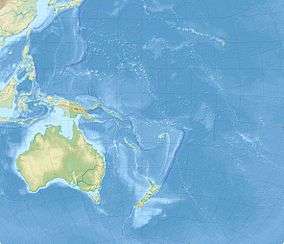 Te Manga Map of Oceania | |
| Location | Rarotonga, Cook Islands |
Te Manga is the highest point of the Cook Islands, a self-governing parliamentary democracy in free association with New Zealand, with an elevation of 652 meters (2,139 ft) above sea level.
See also
External links
- (in English) Te Manga, Rarotonga, Tramping New Zealand.
This article is issued from
Wikipedia.
The text is licensed under Creative Commons - Attribution - Sharealike.
Additional terms may apply for the media files.