Tête de l'Etret
| Tête de l'Étret | |
|---|---|
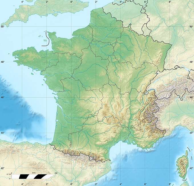 Tête de l'Étret Location in France | |
| Highest point | |
| Elevation | 3,559 m (11,677 ft) |
| Coordinates | 44°53′22″N 6°14′41″E / 44.88944°N 6.24472°ECoordinates: 44°53′22″N 6°14′41″E / 44.88944°N 6.24472°E |
| Geography | |
| Location | Isère, France |
| Parent range | Massif des Écrins |
Tête de l'Étret is a mountain in the French Alps, located in the Massif des Écrins. It has a summit elevation of 3,559 m (11,677 ft) above sea level.
See also
This article is issued from
Wikipedia.
The text is licensed under Creative Commons - Attribution - Sharealike.
Additional terms may apply for the media files.