Strait of Bonifacio
| Strait of Bonifacio | |
|---|---|
 Strait of Bonifacio 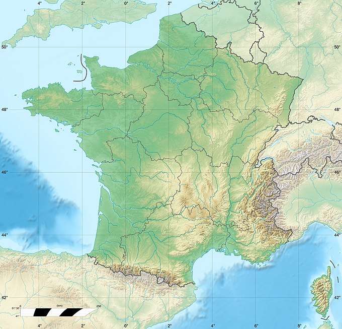 Strait of Bonifacio  Strait of Bonifacio | |
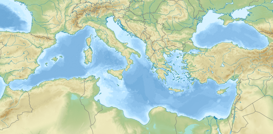
| Location | Mediterranean Sea |
| Coordinates | 41°18′43″N 9°12′46″E / 41.31194°N 9.21278°ECoordinates: 41°18′43″N 9°12′46″E / 41.31194°N 9.21278°E |
| Type | Strait |
| Basin countries |
|
| Min. width | 11 kilometres (6.8 mi) |
| Max. depth | 100 metres (330 ft) |
| Settlements | Bonifacio |
The Strait of Bonifacio (Latin: Fretum Gallicum, French: Bouches de Bonifacio, Italian: Bocche di Bonifacio, Corsican: Bucchi di Bunifaziu, Gallurese: Bocchi di Bunifaciu, Sardinian: Buccas de Bonifatziu, Ligurian: Bocche de Bunifazziu) is the strait between Corsica and Sardinia, named after the Corsican town Bonifacio. It is 11 km (6.8 mi) wide [1] and divides the Tyrrhenian Sea from the western Mediterranean Sea. The strait is notorious among sailors for its weather, currents, shoals, and other obstacles.
The most famous disaster in the Strait of Bonifacio was that of the French frigate Sémillante on February 15, 1855. Sémillante had left the port of Toulon the day before on its way into the Black Sea to supply the Crimean War with troops. A storm caused it to hit a reef; the ship sank and none of the 750 soldiers on board survived.
After a tanker disaster in 1993, the passage through the Strait of Bonifacio has been prohibited for French and Italian flag ships with dangerous goods. Passage for ships with dangerous goods sailing under other flags is strongly discouraged and subject to mandatory piloting.[2][3]
Its maximum depth is 100 metres (330 ft).[4]
Gallery
- Strait of Bonifacio
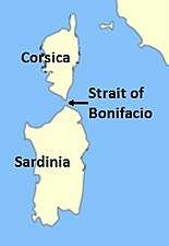 Location of the Strait.
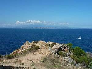 The Strait as seen from Santa Teresa di Gallura in Sardinia; Corsica is in the background.
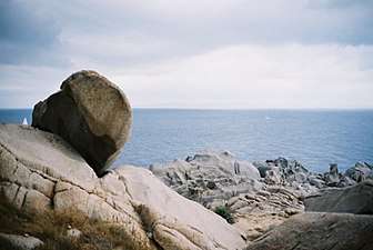 The Strait as seen from the northernmost tip of Sardinia; the southern coast of Corsica is barely visible.
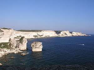 The Strait as seen from the Corsican coast.
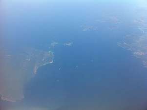 The Strait as seen from above the ground.
See also
References
- ↑ "European Space Agency Observing the Earth". web page. European Space Agency. Retrieved 4 October 2011.
- ↑ "The Strait of Bonifacio: a Particularly Sensitive Sea Area (PSSA)". Retrieved 18 June 2013.
- ↑ "IMO Resolution A.666(18) Navigation in the Strait of Bonifacio" (PDF). PDF document. Retrieved 18 June 2013.
- ↑ "International Maritime Organization Marine Environment Protection Committee 61st Session, Agenda Item 9 Annex, page 1" (PDF). PDF document. International Maritime Organization. Retrieved 4 October 2011.
External links
| Wikimedia Commons has media related to Strait of Bonifacio. |
| Administrative divisions |  | |
|---|---|---|
| History | ||
| Politics | ||
| Culture | ||
| Languages |
| |
Categories | ||