Stonehaugh
| Stonehaugh | |
|---|---|
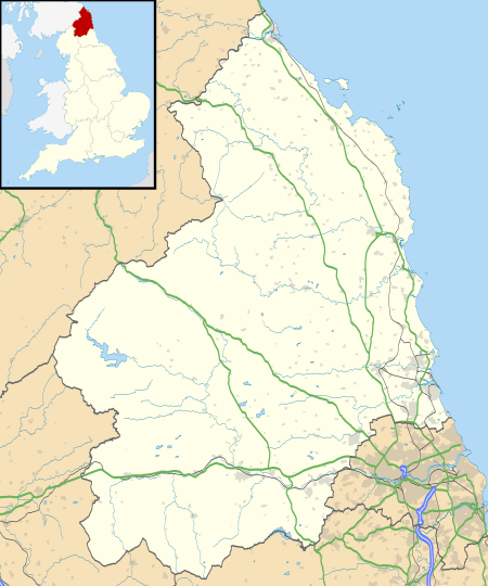 Stonehaugh Stonehaugh shown within Northumberland | |
| OS grid reference | NY795765 |
| Unitary authority | |
| Ceremonial county | |
| Region | |
| Country | England |
| Sovereign state | United Kingdom |
| Post town | HEXHAM |
| Postcode district | NE48 |
| Police | Northumbria |
| Fire | Northumberland |
| Ambulance | North East |
| EU Parliament | North East England |
| UK Parliament | |
Stonehaugh is a small settlement in Northumberland about 5 miles (8 km) west of Wark on Tyne and 4 Roman miles (6 km) north of Hadrian's Wall. It was purpose-built for housing forestry workers in the 1950s. Mechanisation has reduced the necessity for such concentrated manpower, so the modern population is more diverse. It is located at the edge of the Wark Forest, and the National Cycle Route 68 (the Pennine Cycleway) passes through it. It has a spectacular scenic views and a local artist's totem poles grace the local picnic area.
Governance
Stonehaugh is in the parliamentary constituency of Hexham.
References
External links
![]()
This article is issued from
Wikipedia.
The text is licensed under Creative Commons - Attribution - Sharealike.
Additional terms may apply for the media files.