Staincliffe
| Staincliffe | |
|---|---|
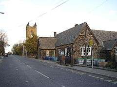 Staincliffe Hall Road | |
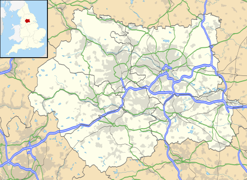 Staincliffe Staincliffe shown within West Yorkshire | |
| Population | 49,448 |
| Metropolitan borough | |
| Metropolitan county | |
| Region | |
| Country | England |
| Sovereign state | United Kingdom |
| Post town | BATLEY |
| Postcode district | WF17 |
| Dialling code | 01924 |
| Police | West Yorkshire |
| Fire | West Yorkshire |
| Ambulance | Yorkshire |
| EU Parliament | Yorkshire and the Humber |
| UK Parliament | |
Staincliffe is a cross-over district of both Batley, West Yorkshire, England and Dewsbury, West Yorkshire, England. Historically part of the West Riding of Yorkshire, the name is believed to derive from staine, meaning stone and cliffe, cliff.
The area is centred on top of a hill between Dewsbury, Batley and Heckmondwike, and areas south of Halifax Road, including Dewsbury & District Hospital have Dewsbury postal addresses.
Until the 19th century, the hamlet of Staincliffe consisted of Staincliffe Hall (dating from at least the 17th century) a few farms and some 18th-century cottages, many of which survive amongst the later developments. Staincliffe expanded in the 19th century with the growth of the heavy woollen industry. In 1867, a new parish church of Christ Church Staincliffe was consecrated which, along with the vicarage and church school, was designed by William Henry Crossland.
Today Staincliffe has many 19th-century houses, but also contains a couple of council housing estates built during the 1950s, as well as a mix of small shops along Halifax Road.
External links
- Christ Church Staincliffe Staincliffe Parish Church
- Staincliffe ARLFC Staincliffe Rugby Club.