St Olaves
| St Olaves | |
|---|---|
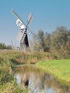 St Olaves wind pump | |
 St Olaves St Olaves shown within Norfolk | |
| OS grid reference | TM458994 |
| Shire county | |
| Region | |
| Country | England |
| Sovereign state | United Kingdom |
| Post town | Great Yarmouth |
| Postcode district | NR31 |
| EU Parliament | East of England |
St Olaves is a village in the English county of Norfolk. The village is situated on the River Waveney in England, some 10 kilometres (6 mi) south-west of the town of Great Yarmouth and the same distance north-west of the Suffolk town of Lowestoft. It is within The Broads National Park.[1]
Today the village forms part of the civil parish of Fritton and St Olaves , which in turn is within the district of Great Yarmouth in Norfolk. However prior to the Local Government Act 1972, the village was within Lothingland Rural District in Suffolk.[2]
St Olaves Bridge, a suspension bridge, is the first bridging point on the Waveney above Great Yarmouth. Haddiscoe railway station, on the Wherry Lines service between Norwich and Lowestoft, is across the bridge approximately 1 kilometre (1 mi) from the centre of the village. St Olaves used to have its own St Olaves railway station, but this is now closed.
The village is the location of the remains of a 13th century Augustinian priory. St. Olaves Priory was dedicated to St Olav. On the site there are parts of the refectory, cloisters, and the priory mill.[3]
References
- ↑ Ordnance Survey (2005). OS Explorer Map OL40 - The Broads. ISBN 0-319-23769-9.
- ↑ Local Government Act 1972, Schedule 1 Part II Non-metropolitan counties.
- ↑ "History of St Olave's Priory". English Heritage. Retrieved September 1, 2017.
External links
| Wikimedia Commons has media related to St Olaves. |