Sekhauliya, Uttar Pradesh
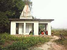
Temple
| Sekhauliya सेखौलिया | |
|---|---|
| village | |
| Coordinates: 26°25′55″N 82°55′02″E / 26.431877°N 82.917130°ECoordinates: 26°25′55″N 82°55′02″E / 26.431877°N 82.917130°E | |
| Country | India |
| District | Ambedkar Nagar district |
| State | Uttar Pradesh |
| Time zone | UTC+5:30 hours (IST) |
Sekhauliya ( सेखौलिया ) is the name of a village in Uttar Pradesh, in the Ambedkar Nagar district.It is situated 2 km away from sub-district headquarter Alapur and 40 km away from district headquarter Ambedkar Nagar. As per 2009 stats, Madhuwana is the gram panchayat of Sekhauliya village. Another name of this village is Tapsi Nagar[1] The same name is also written along with the polling station and school (172 Late Vidya Devi Kanya School Tapsi Nagar) The total geographical area of village is 48.14 hectares. Sekhauliya has a total population of 355 peoples. There are about 53 houses in Sekhauliya village.
Nearby College
- Pt._Ram_Lakhan_Shukla_Rajkeey_Post_Graduate_College_Alapur - This is under 5 km. of the east of village near Katghar.
See also
- Ambedkar Nagar district
- Ramnagar, Alapur
- अंबेडकर नगर
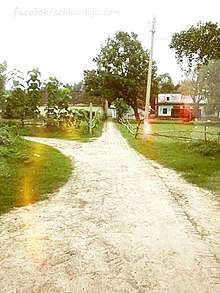
:An entrance path of Sekhauliya
References
External links
This article is issued from
Wikipedia.
The text is licensed under Creative Commons - Attribution - Sharealike.
Additional terms may apply for the media files.