Séguéla Airport
| Séguéla Airport Aéroport de Séguéla | |||||||||||
|---|---|---|---|---|---|---|---|---|---|---|---|
| Summary | |||||||||||
| Airport type | Public | ||||||||||
| Serves | Séguéla, Côte d'Ivoire | ||||||||||
| Elevation AMSL | 322 m / 1,056 ft | ||||||||||
| Coordinates | 7°57′36″N 006°38′39″W / 7.96000°N 6.64417°WCoordinates: 7°57′36″N 006°38′39″W / 7.96000°N 6.64417°W | ||||||||||
| Map | |||||||||||
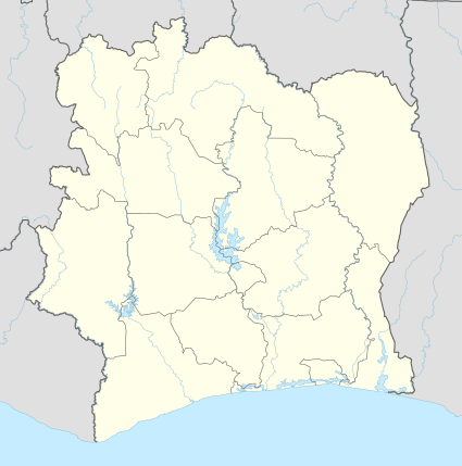 SEO Location in Côte d'Ivoire | |||||||||||
| Runways | |||||||||||
| |||||||||||
Séguéla Airport (French: Aéroport de Séguéla) (IATA: SEO, ICAO: DISG) is an airport serving Séguéla, a town in Côte d'Ivoire. It is located about 3 kilometres (1.9 mi) to the east of the town. The airport has one runway measuring 1,950 metres (6,400 ft) that will be asphalted.
Infrastructure
Séguéla Airport has one runway with dimensions 1,950 by 40 metres (6,400 ft × 130 ft).[1] During a July 2015 press conference in Séguéla, President Alassane Ouattara said that the runway would be asphalted by 2020 at a cost of 7 billion West African CFA francs.[2][3]
See also


- Transport in Côte d'Ivoire
References
- ↑ "SEO - Séguéla [Séguéla Airport], 14, CI - Airport". Great Circle Mapper. Retrieved 19 November 2016.
- ↑ "Le Chef de l'Etat a animé un giga-meeting à Séguéla dans le cadre de sa visite d'Etat dans le District du Woroba". Lebabi.net (in French). 27 July 2015. Retrieved 19 November 2016.
- ↑ "Au terme de sa tournee dans le Woroba, le Chef de l'Etat a echange avec la presse". Official portal of the government of Côte d'Ivoire (in French). 26 July 2015. Retrieved 19 November 2016.
External links
- Airport information for Séguéla Airport at Great Circle Mapper.
This article is issued from
Wikipedia.
The text is licensed under Creative Commons - Attribution - Sharealike.
Additional terms may apply for the media files.