São João Nepomuceno
| São João Nepomuceno | |||
|---|---|---|---|
| city | |||
| |||
| Nickname(s): SJN | |||
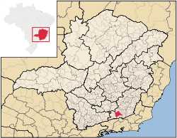 Location in Brazil | |||
 São João Nepomuceno Location in Brazil | |||
| Coordinates: 21°32′24″S 43°00′39″W / 21.54000°S 43.01083°W | |||
| Country | Brazil | ||
| Region | Southeast | ||
| State | Minas Gerais | ||
| Incorporated | May 16, 1880 | ||
| Government | |||
| • Mayor | Edmea Moreira Machado | ||
| Area | |||
| • Total | 407,896 km2 (157,490 sq mi) | ||
| Population | |||
| • Total | 25,526 | ||
| • Density | 62.6/km2 (162/sq mi) | ||
| Time zone | UTC-3 (UTC-3) | ||
| • Summer (DST) | UTC-2 (UTC-2) | ||
| Website | São João Nepomuceno | ||


São João Nepomuceno is a city in the southeast of Minas Gerais, Brazil close to the state border with Rio de Janeiro.
This article is issued from
Wikipedia.
The text is licensed under Creative Commons - Attribution - Sharealike.
Additional terms may apply for the media files.