Rowling End
| Rowling End | |
|---|---|
 Rowling End can be seen in front of Causey Pike behind Derwent Water. In summer | |
| Highest point | |
| Elevation | 433 m (1,421 ft) |
| Parent peak | Causey Pike |
| Listing | Hewitt, Nuttall |
| Coordinates | 54°34′35″N 3°12′41″W / 54.57634°N 3.21127°WCoordinates: 54°34′35″N 3°12′41″W / 54.57634°N 3.21127°W |
| Geography | |
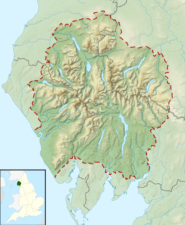 Rowling End Location in Lake District, UK | |
| Location | Cumbria, England |
| Parent range | Lake District, North Western Fells |
| OS grid | NY228206 |
| Topo map | OS Landrangers 89, 90, Explorer OL4 |
Rowling end is a peak in the Lake District about 433 meters it is a steep slope leading up towards Causey Pike. It is briefly mentioned in books however they mainly focus on Causey Pike. The summit has a small kern on it amongst the heather and other shrubs and plants.
References
- A Pictorial Guide to the Lakeland Fells,The North Western Fells:Alfred Wainwright: ISBN 0-7112-2459-5
- Complete Lakeland Fells, Bill Birkett, ISBN 0-00-713629-3
This article is issued from
Wikipedia.
The text is licensed under Creative Commons - Attribution - Sharealike.
Additional terms may apply for the media files.