Roihuvuori
| Roihuvuori Kasberget | |
|---|---|
| Helsinki Subdivision | |
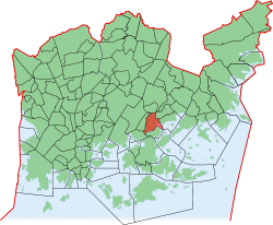 Position of Roihuvuori within Helsinki | |
| Country |
|
| Region | Uusimaa |
| Sub-region | Greater Helsinki |
| Municipality | Helsinki |
| Subdivision number | 432 |
| District | Southeastern |
| Subdivision regions | none |
| Area | 1.47 km2 (0.57 sq mi) |
| Population (2006) | 7,488 |
| • Density | 5,094/km2 (13,190/sq mi) |
| Postal codes | 00800, 00810, 00811, 00820 |
| Neighbouring subdivisions |
Herttoniemenranta Itäkeskus Länsi-Herttoniemi Marjaniemi Roihupelto Tammisalo |
Roihuvuori (Swedish: Kasberget, or Roihis and Roihika, literal translation Blaze Mountain) is a quarter, part of Herttoniemi neighbourhood in Helsinki, Finland. The population of Roihuvuori is approximately 8,000 and its area is 1.47 km². There is a church, two schools, shops and restaurants in Roihuvuori. There is also a water tower, Japanese style garden, playground Tuhkimo and Kirsikkapuisto where a Hanami festival is held.
Each street in Roihuvuori was named after fairy tales, with the exception being Roihuvuori's main street (Roihuvuorentie). For example, Lumikintie is "Snow White Street" and Tuhkimotie is "Cinderella Street".
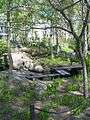 Japanese style garden
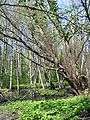 An alder forest at Strömsinlahti, Roihuvuori
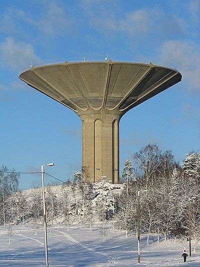 The Roihuvuori water tower
| Wikimedia Commons has media related to Category:Roihuvuori. |
This article is issued from
Wikipedia.
The text is licensed under Creative Commons - Attribution - Sharealike.
Additional terms may apply for the media files.