Reeves Névé
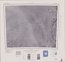
1:250,000 scale topographic map of Reeves Névé.
Reeves Névé (74°25′S 160°0′E / 74.417°S 160.000°ECoordinates: 74°25′S 160°0′E / 74.417°S 160.000°E) is an extensive névé lying westward of the Eisenhower Range in Victoria Land. Reeves Glacier, which drains southeastward to the coast, has its source in this névé. It was named by the New Zealand Antarctic Place-Names Committee in association with Reeves Glacier.
References
![]()
This article is issued from
Wikipedia.
The text is licensed under Creative Commons - Attribution - Sharealike.
Additional terms may apply for the media files.