Redpoint
Redpoint
| |
|---|---|
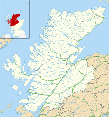 Redpoint Redpoint shown within the Highland council area | |
| OS grid reference | NG744687 |
| Civil parish | |
| Council area | |
| Lieutenancy area | |
| Country | Scotland |
| Sovereign state | United Kingdom |
| Post town | Gairloch |
| Postcode district | IV21 |
| Dialling code | 01445 |
| Police | Scottish |
| Fire | Scottish |
| Ambulance | Scottish |
| EU Parliament | Scotland |
| UK Parliament | |
| Scottish Parliament | |
Redpoint (Scottish Gaelic: An Rubha Dearg) is a small settlement in the north west of Highland, Scotland. It takes its name from Red Point, a low promontory to the south, which marks a turn in the coastline from facing west to south east as it becomes Loch Torridon.
Redpoint lies about 10 miles (16 km) south west of Gairloch, at the end of the B8056 road. A path leading from the road leads to a viewpoint from which it is possible (on a clear day) to see almost all of the north eastern coast of the Isle of Skye.
The villages of South Erradale, Opinan and Port Henderson are north along the B8056 coast road.
This article is issued from
Wikipedia.
The text is licensed under Creative Commons - Attribution - Sharealike.
Additional terms may apply for the media files.